The Brecitos - Barrio de Las Angustias
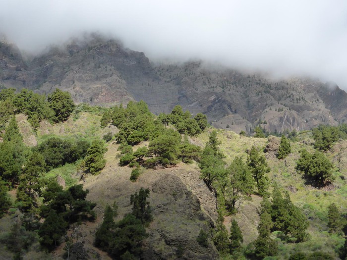 Mirador de Los Brecitos (Exit)To the view of Los Brecitos you can go up with a tour but you are not allowed to park, so if you want to do the route from here you have to go up on a tour with a tourist bus or leave the car in the bottom of the valley and pay a taxi that leaves you in the view. From the lookout there are wonderful views to the inside of the National Park of the Caldera Taburiente, with canary pine and background forests you can appreciate the Bejenado peak. . |
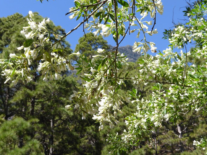 Tagasaste Lome ViewerThe Lomo de Tagasaste lookout offers us the best views of the Bejenado peak, which is about 1854 meters high and is on the southern side of the boiler. |
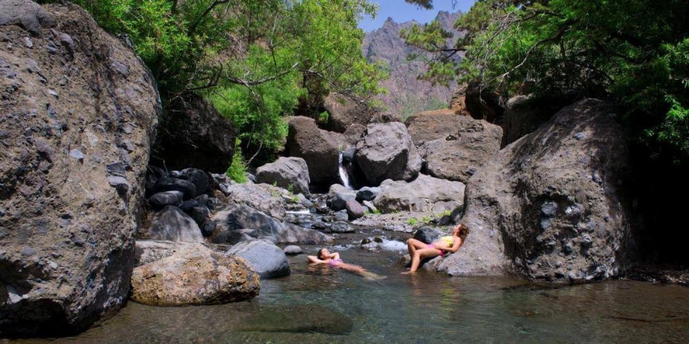 Tauriente beach.Site where the waters of the river Taburiente run; this place is also known as the beach of Taburiente. |
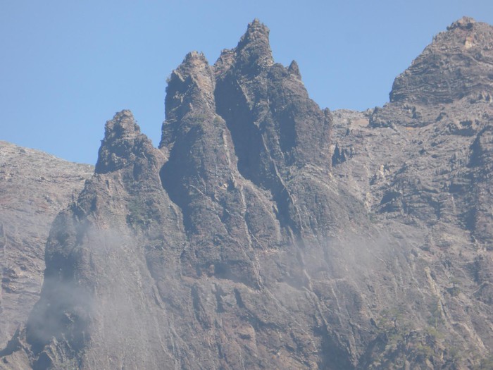 Visitors Center of the camping area |
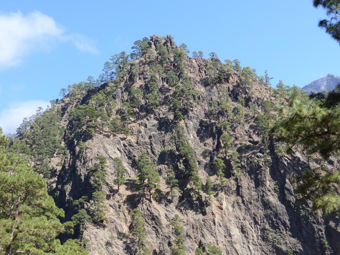 Scent of the PaloFrom here we have the best views of the Roque Idafe. |
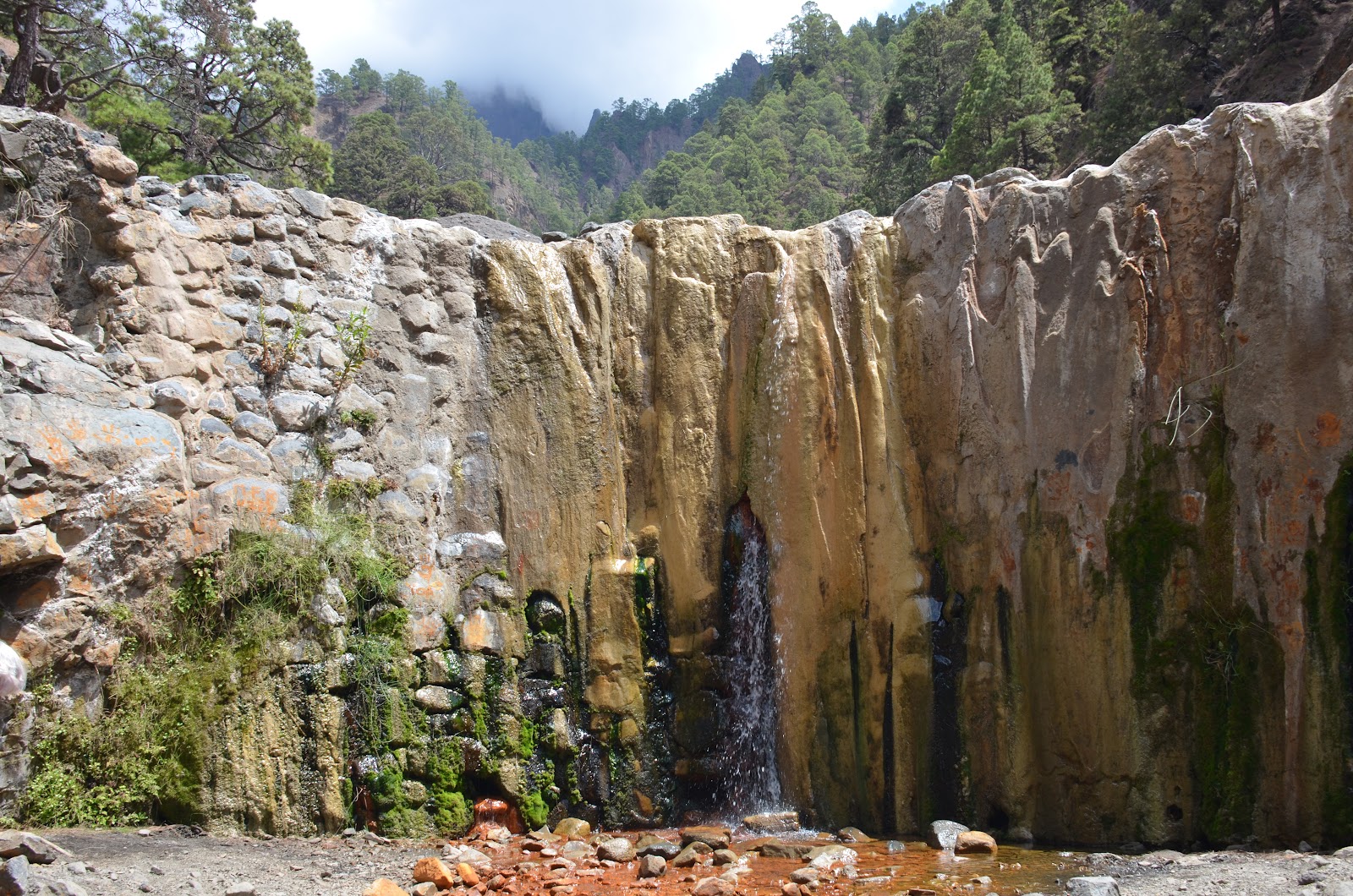 Cascade of the ColorsAfter the Reventon, we arrive at a point where the Barranco Rivancesas and the Barranco de las Angustias are joined; here we have to go back in the Barranco Rivancesas a 1 km back and forth to know the famous Cascade de Colores. It is a small water fall with yellowish, ocre and brown colors that are mixed with the green of the moss. These colors are due to the different minerals that sprout from the bottom the earth dragged by water. Although less and less colors are seen over time, it is worth knowing this place. . |
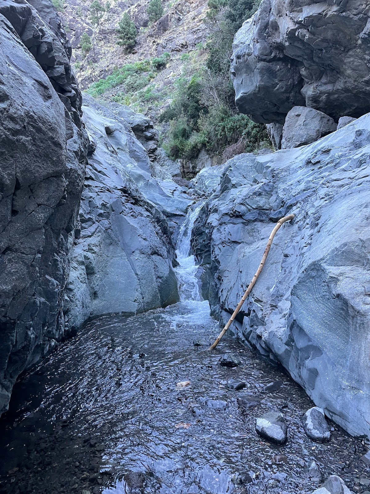 Barrio de las Angustias |
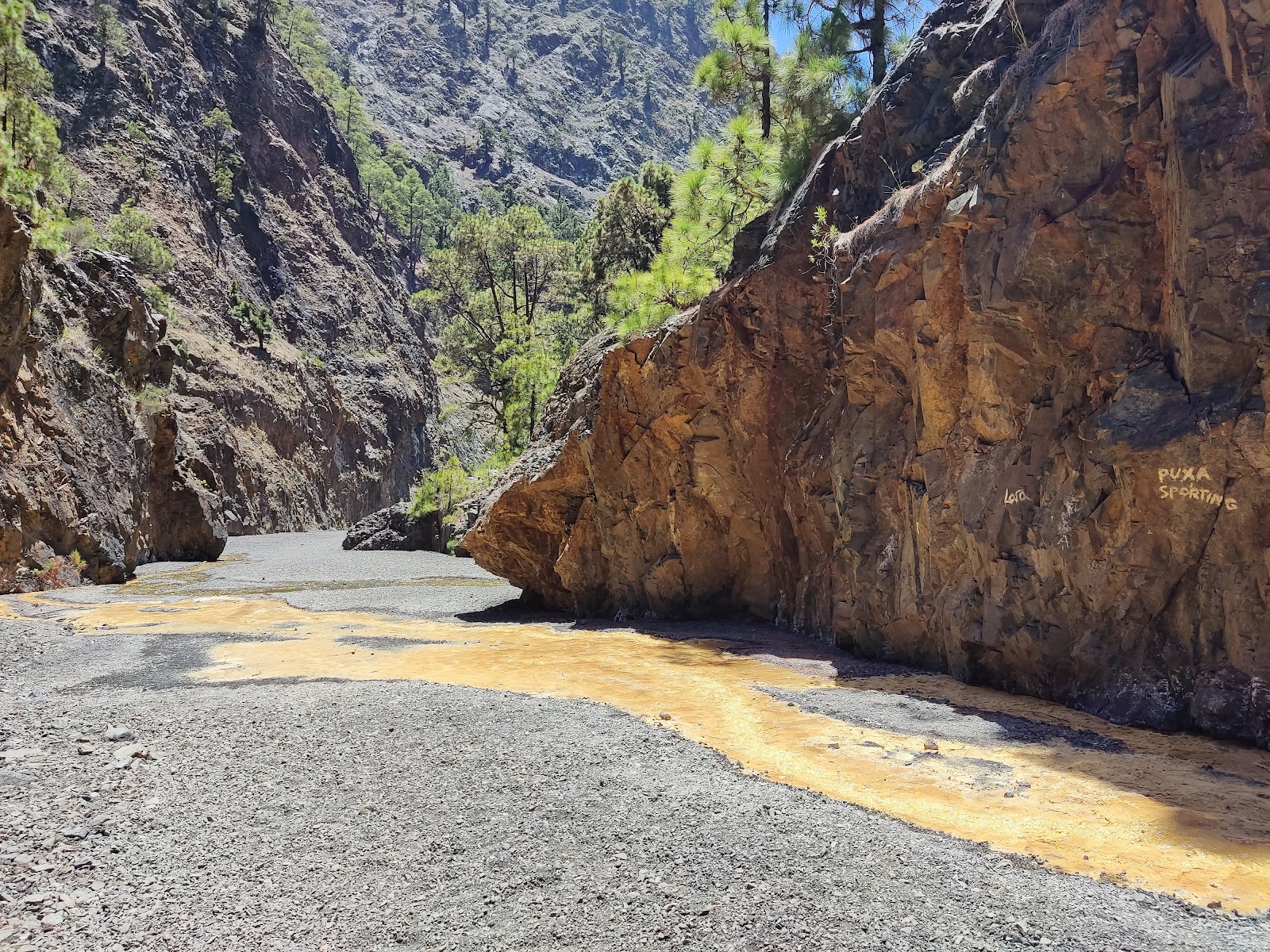 Sulphated water spring |
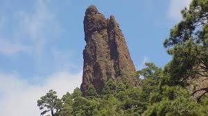 Roque IdafeIt was a place of aboriginal worship, for its unique profile and height that is about 100 meters. Its walls house an interesting rupicola flora, highlighting various species of bejeques of the Aeonium, Greenovia and Aichryson genera, mainly. As a virtually inaccessible area away from the main trails, this natural monument presents an optimal conservation state, free of any use. |
 Parking (Final) |
TABURIENT CALDER: PR LP 13 The Brecitos - Area of the Ampada - Parking of the Barrio de Las Angustias. The Caldera de Taburiente is a top circus of 8 km in diameter, has levels that reach 2,000 m., with exit to the Barrio de Las Angustias, within Protected Landscape of the Barrio de Las Angustias through which we will travel in the final stretch of the walk. The highest Picos reach 2,426 m. Roque de Los Chichos, 2,351 m. Pico de La Cruz, 2,321 m. Pico de Puntallana, 2,239 m. Pico de Las Nieves, 1.854 m. Pico Bejenado. Of volcanic origin, it is a spectacular landscape where we can appreciate, diverse geological formations such as cones, lashes, roques, almohadiladas lavas, diques, as well as numerous ravines, streams and waterfalls that nourish the Barranco de Las Angustias. In the vegetation predominates the canary pineapple, retamas, codesos, we will also see amagants, locks, bejeques tajinastes, and in the willows, follao, faya, brezo, vigilatigos etc. Declared National Park since 1954. Access. - The Llanos de Aridane can be reached on LP 1, LP 2 or LP 3, once there, we are heading to the parking lot inside the Barrio de Las Angustias through LP 214. From the parking lot to the Mirador de Los Brecitos we will go to the services of Taxis, also on the road LP 214 section also known as the road Hacienda del Cura. PRIMER TRAMO.- Mirador de Los Brecitos - Area of Apampada length 5.7 km We start at a height of 1,094 m down until 786 in the channel of the Barrio de Las Angustias. It is a comfortable road, it descends in a serpentating way between the canyons that come down on the left, between a pine tree, having views of the high walls and peaks of La Caldera. It's a dizzy way. WP 1 Start at the Los Brecitos Mirador, information panels. At the top of Somada Alta at the bottom of the picachos of Los Agujeritos and on the other side the Pico Bejenado. WP 2 Barrio del Ciempies WP 3 Barrio de La Cañeras WP 4 Lome of Tenerife. Bifurcation, follow right, the descent begins. On the left, Casas de Tenerife, at the summit of the Morro del Estrabito. WP 5 Barrio de Las Treves, a huge rock. WP 6 Barrio de Las Piedras Roundas, many large rounded rocks. WP 7 Tagasaste Lome Mirador, we saw ravens. Views at the top of Los Agujeritos several picachos. WP 8 Source of La Mula or La Faya. WP 9 Barrio de Risco Liso. WP 10 Water Bomb Barrio. WP 11 Taburiente Beach. We reached the river of Rio Taburiente, which carries a stream of water, could be crossed without difficulty, some people were given a bath. Good panoramic views, looking north, Roque del Huso and Roque La Defondada, higher Roque de Los Muchho, Pared de Roberto, Pico del Ataud, Pico de La Cruz. Right on the other side of the channel, the Area of Apparade above, Roque de la Brevera Macha, El capadero and Roque Salvaje. SECOND TRAMO.- Parking of the Barrio de Las Angustias. We start at a 786 m high in the ravine line we go up to 814 and we will arrive at the end with a 265 m high. WP 12 After crossing the camping area we passed by the Visitors Center and continued on the PR LP 13 we climbed a small hill. WP 13 Somada del Palo, we enter the Barrio del Almendro Amargo. WP 14 Barranco of Almendro Amargo, opposite we have the Lomo de Los Bueyes and the Natural Monument Roque Idafe. WP 15 Cartel that warns us of the detour to visit La Cascada de Colores (500 m.) Barranco Rivanceso Limonero (yellow waters). We deviate and pass by the union of the Barranco Almond Amargas (water jump at this point) and Rivancers from where comes a flow of yellowish water that leads us to the Cascade of Colores. We go back to WP 15 to continue PR LP 13. WP 16 After crossing the water ravine, the road goes down to the right of the Las Angustias ravine and we will see in front a work of water collection to channel it. Later on the road goes into the channel. WP 17 Lomo Casas we leave the channel. WP 18 We cross the channel to follow the road on the other side. WP 19 The Straits. WP 20 Morro de La Era (little abandoned house) we make a stretch through the channel. WP 21 We left the channel and left on the left after an aqueduct. WP 22 Final we have reached the parking lot in the Barrio de Las Angustias. In total we have walked 16 km. Total ascension 270 m., total decrease 1,069 m. Average in motion 3.4 Km / h. Moderate high difficulty, with dizzy areas and sections of the channel, not recommended for unused trails. Well signposted. .
Links:wikiloc.com
Latitude:28.711649·Longitude:-17.900704