Circular The Llania
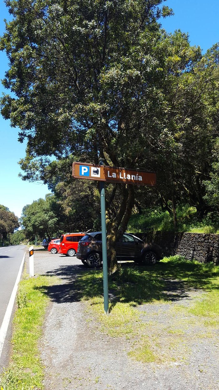 ParkingParking and path start. |
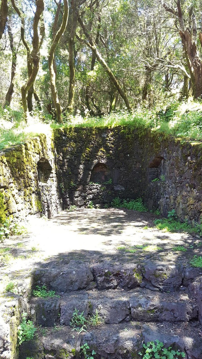 Source at the beginning of the path |
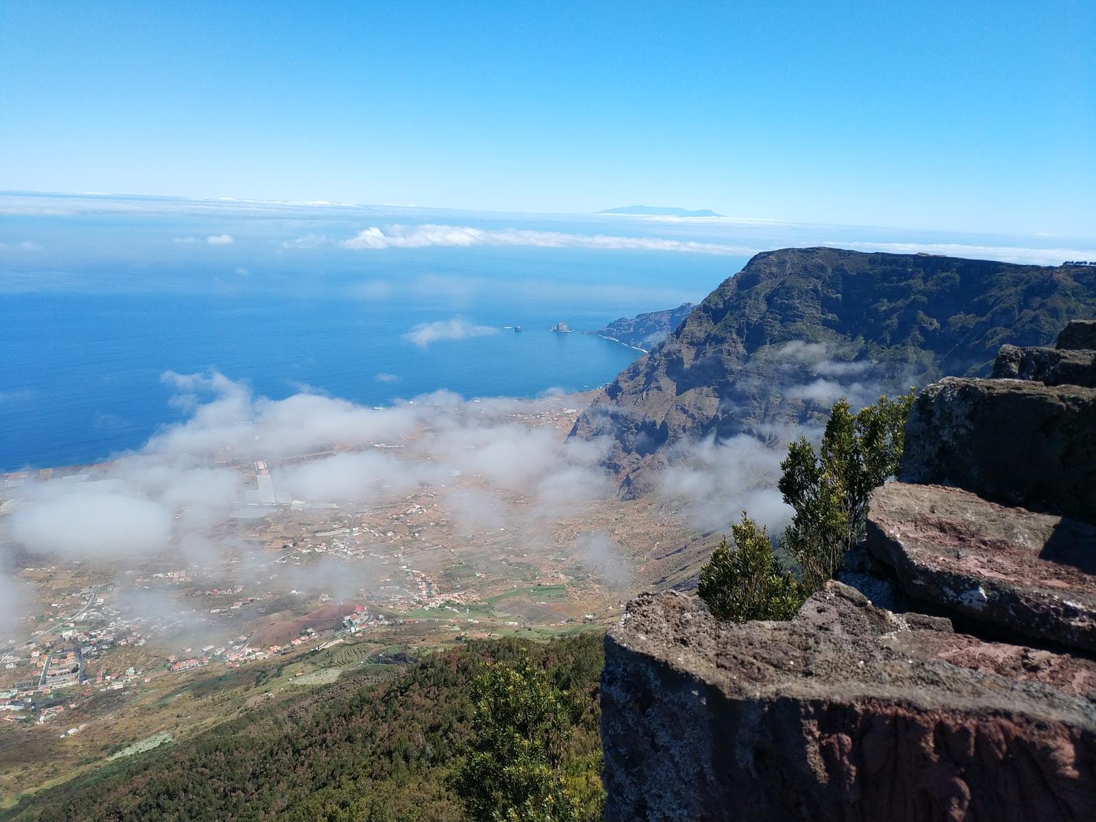 Llania ViewerThis lookout is an excellent natural balcony over El Golfo. In the first place, we see the foothills with the laurisilva that is walled through the walls of a huge slide that led to the bottom of the sea a huge portion of the island. The Gulf is the product of a gravitational dismantling, as the excessive height of the island caused an instability that ended with a huge collapse. This is why we see the descommunal cliffs, in some virtually vertical places such as the tibataje cliffs, which have their continuity at sea in the Roques de Salmor. On our left we see an area with less slope, is the Tanganasoga volcano, one of which contributed to filling the depression formed by the slide that has led to the lower area of El Golfo. |
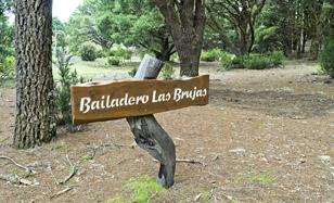 Witch DancerThis little plain that before the repopulation was a balder on the mountain has been linked in popular beliefs to witches. It was traditionally said that trees did not grow in this place because they danced witches. The magic practices were very rooted in the subconscious of the herreños and the canaries in general. The places where witches danced are called dancers. And there are in all the islands, although this name is also attributed to the places where the aborigines left the cattle without food to shoot asking the gods for rain. And from there would come the name of a ballroom that would end up mixing with these brutal practices in "dancing.". |
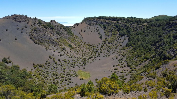 Hoya de FirebaThe Hoya de Fireba is a spectacular explosive boiler, which corresponds to the intermediate period of the island's volcanic history. It is also the best preserved boiler on the island, as there are only three of this type. The boiler is at the center of the three-dorsal vertex that shape the island as an irregular star. This spectacular crater is 259 meters in inner diameter and a depth of 110 meters. Its volcanic ash bottom is flat. Access to its interior is a magical moment, as the interior of the Caldera maintains a halo of nature and silence, only broken by the overflight of the birds. The southern face of the boiler receives the influence of the alisios that go beyond the El Golfo escarpe, which has allowed the appearance of a brezal fayal, while the northern face remains almost naked of vegetation. At the bottom of the boiler, a small area was used in the past to grow dry potatoes, thanks to a path now recovered that allowed access to the inside of the crater. |
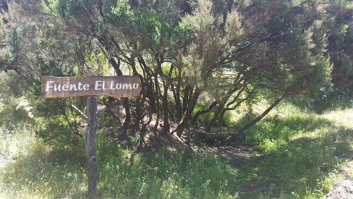 Source the LomeThis source loss on the mountain is part of the history of the island in one of its toughest times, the Spanish post-war. It was built in the 1940s by the Economic Command of the Canary Islands, to offer a birch for the cattle. In addition, the aljibe was built for human consumption, separating the use of livestock from the consumption of people. It is not so far away in time, and not of course in the memory of the elderly, the times when the water reached the aljibes of the houses by trucks or was going to search for the sources with tick, sometimes making long queues for the little water it was running. |
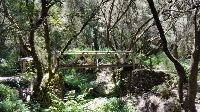 Wooden bridge |
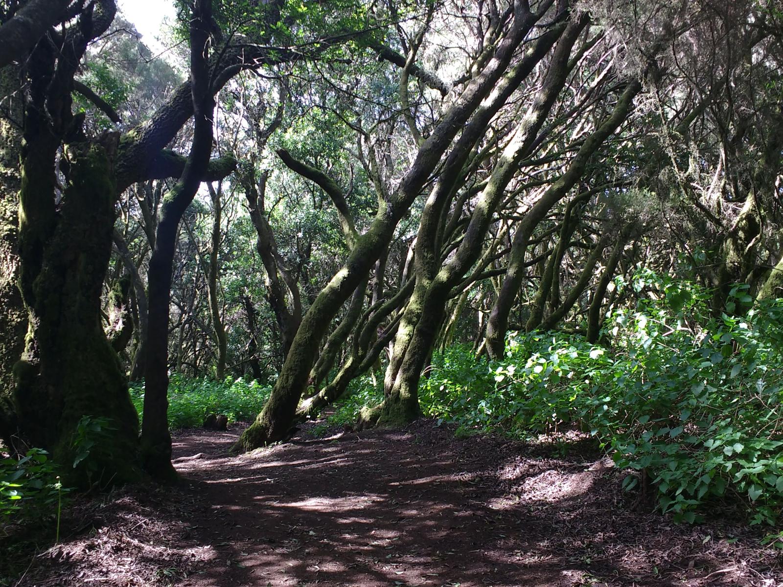 The BrezalThe path is in the forest called El Brezal, paradoxically with a greater presence of stripes. The plentiful rainfall, is the most rainy point on the island, makes them become large. First we found a clearing in the forest, whose name is La Chapa Pablo. In this first sector of the route we cross a rusty forest of laurisilva, with a closed vegetable vault; the environment is humid, with a presence of lichens and moss. In particular, the presence of two imposing canarian pine trees, which remind us that the presence of the fayal- brezal is still an anomaly on this southern facing side, due to the renegade of the moisture-laden fences from the Gulf. |
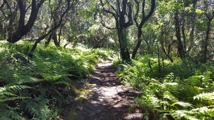 Paseo de los HercasThe route turns south following the path of an incipient ravine. The geological youth of El Hierro makes the network of ravines still undeveloped. It especially highlights the presence of ferns on the margin of the road. The most abundant species is the common fern or eagle fern. It is one of the most common fern species on the island, its fronts - the name that the leaves of the fern receive - can reach two meters. It is a fern that tolerates light and some heat, so we find it in this area of the forest with less moisture. |
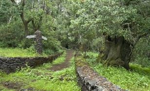 Paredes CurveWe cross the road leading to the Hoya del Morcillo, the main forest recreation area on the island. We are still in a forest area, but the type of forest has changed enormously. The lower humidity makes the stripes have left way to the heather, less demanding in terms of moisture and more resistant to insolation and drought. |
The path of La Llania is a gift for the senses that exhibits the greenest island side thanks to a very well signposted circular route with little difficulty - suitable for children and the elderly - that involves you in a wonderful vergel of laurisilva forests, bizos and canaries.
Σύνδεσμοι:wikiloc.com
Γεωγραφικό πλάτος:27.736307·Γεωγραφικό μήκος:-17.996618