Return to the Cancho de los Muerto
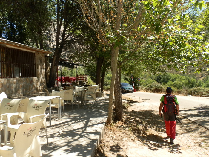 Parking Canto CochinoParking by Canto Cochino, that of the barracks, there are two bars. |
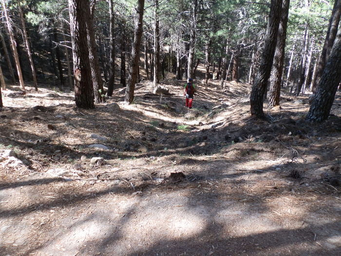 Road to nurseryWe leave the PR-M1 and take the path to the right. |
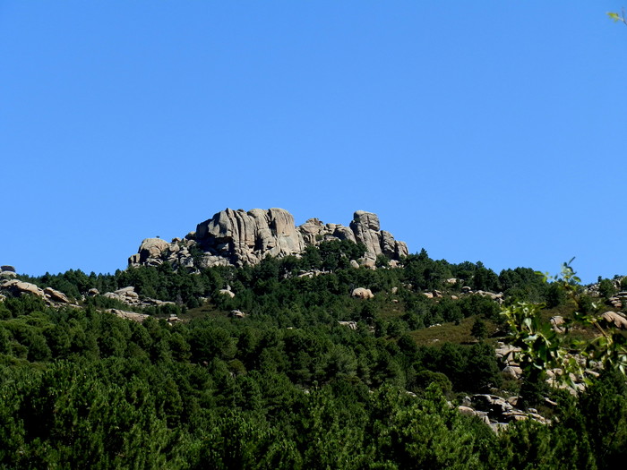 Cancho de los MuertosSet of scattered crest, known in other times as Campo Santo or Cancho de los Muertos. |
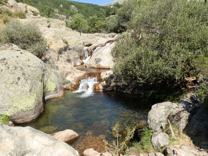 Green pondIt is a great poza that is part of the birth of the Manzanares River. This pond has a width of about 15 meters in diameter. |
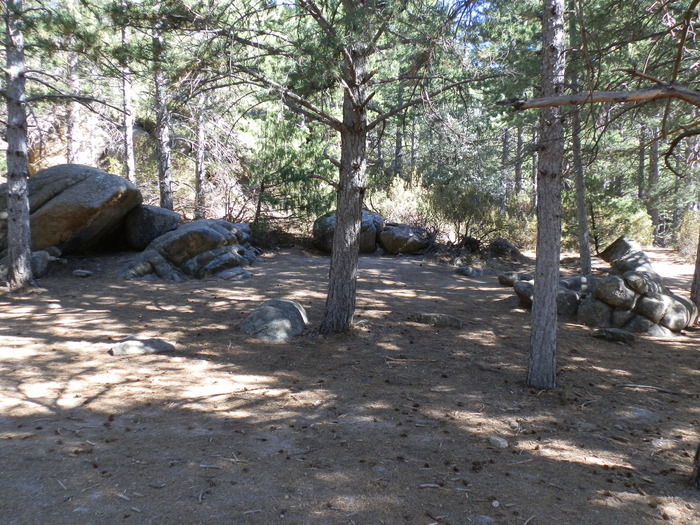 Collado del CabronThe Collado del Cabrón is a small explanade in which you can make a stop on the way. From the origin of his name it is stated that it was the pastors who were responsible for baptizing this hill, as a result of a lance between mountain goats. The Collado del Cabrón has one of the best views of La Pedriza. To the north is seen El Pajarito, while to the east is also seen its homonymous El Panganillo. From this same perspective, you can also see the Bone or Peñalarco, the Collado de la Dehesilla, the Giner Refugio de los Ríos, which appears as a small, recoleta little house and a huge stone in the middle of a meadow. It is no other than the famous Tolmo, a huge granite mole that is 18 meters high and weighs about 8,000 tons. It is said that this piece of "terron" fell from the highest parts of the later Pedriza, ensuring many that it comes from The Yelm or from the right-hand vein of The Bird. From here we will take back the path PR-M1. |
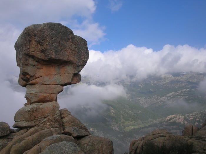 The ChaliceThe area on which the Risco del Chaliz is located is one of those magical corners of La Pedriza, which, apart from the transit of the hordes of visitors who arrive at the Park every weekend, allows you to enjoy a touching serenity and beauty. The Chalice is accessed after a little less than 2.5km of march, exceeding a level of about 280 meters. |
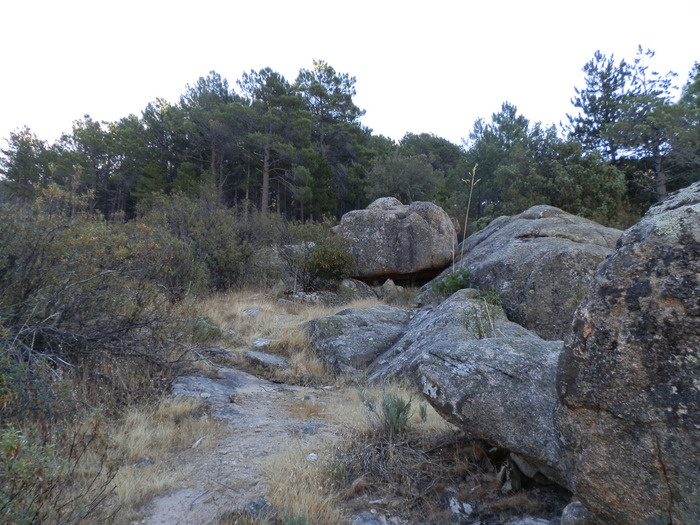 Turn to the CalízJust after 1.5 km from the parking lot on the path to our right we will find a rock, in a corner of the path where you can see the green pond below, because in this small cliff we will have to turn 90 ° to pull up and leave the main path PR-M1, this is much smaller and not very well marked, |
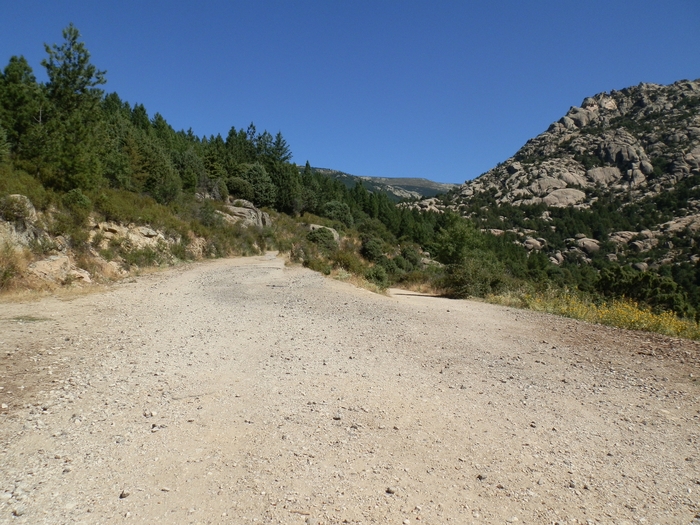 Intersection of Caminos |
Peña Horcajo |
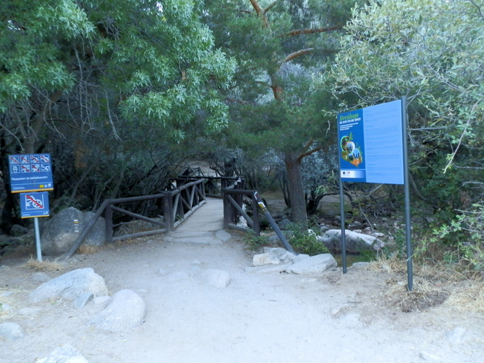 Canto Cochino BridgeFrom the bridge we take the path PR-M1 (marked with white and yellow marks), for 1.2 km. |
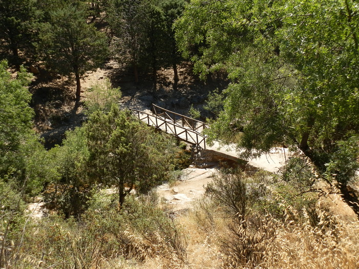 Horse Cola BridgeOption to cross and follow the other side along the path PR-M 18, quite sinuous but also more beautiful. |
The Frogs BridgeOption to cross and follow the other side. |
Puente del ViveroOption not to cross and continue on the same shore. |
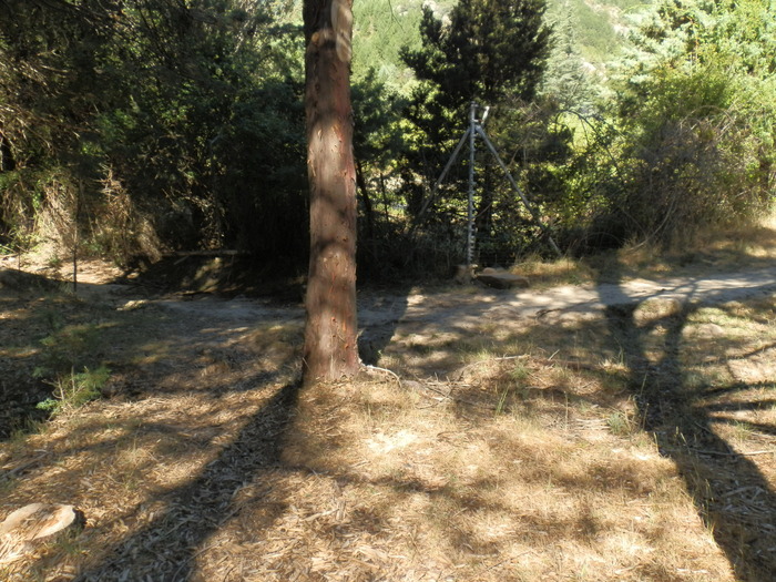 VallaAfter about 500 m of descent from the last detour and crossing the Risco stream several times, we reach a corner where we will find a fence that prevents the passage of the reforestation nursery there, at this point we will take the path of our right surrounding the nursery. |
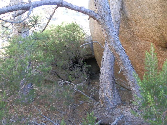 Vivac |
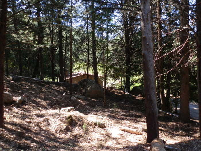 VirerI live reforestation. As soon as the metal fence is finished, on our left we will see a caseron, and a small path that invites us down, this is the road to the Green Fate. |
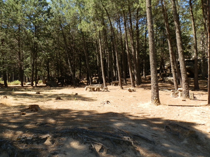 Recreative zone |
Round the Green Chark, Collado del Cabrón, Cancho de los Muertos, el Caliz.
Latitude:40.750010·Longitude:-3.894350