Senda de la Peña del Eagle
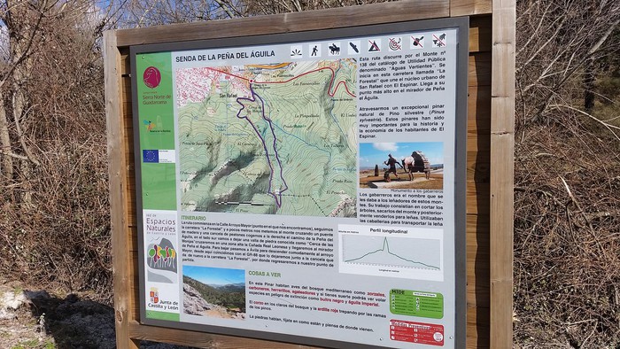 Home |
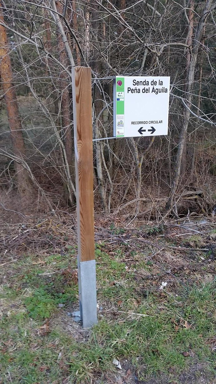 Intersection 1 |
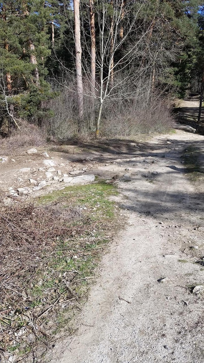 Intersection 2 |
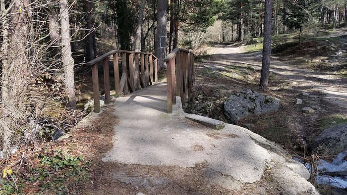 Bridge over the Major Arroyo |
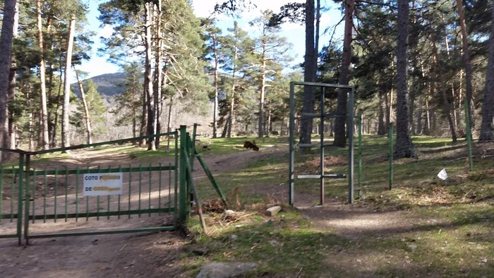 Cancel |
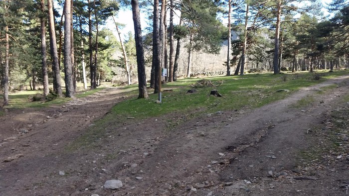 Intersection 3 |
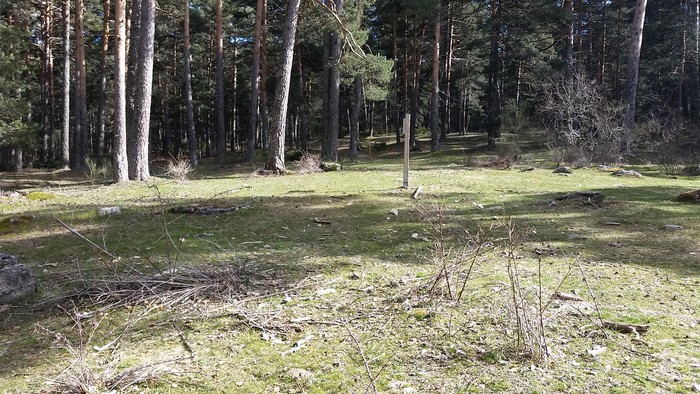 Intersection 4 |
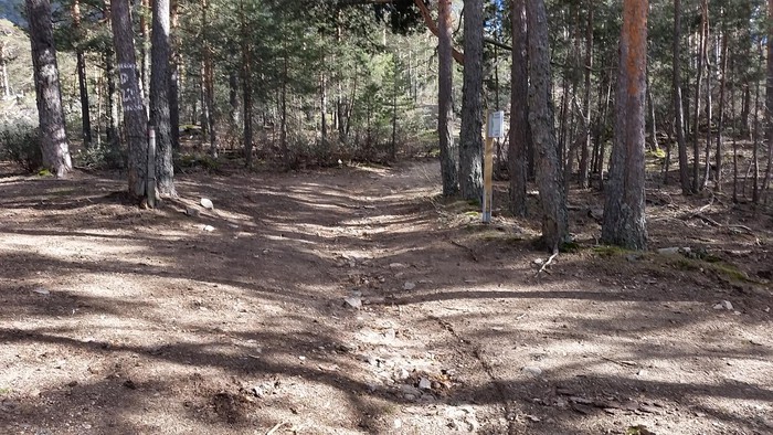 Intersection 5 |
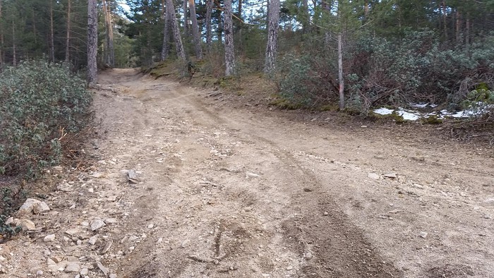 Intersection 6 |
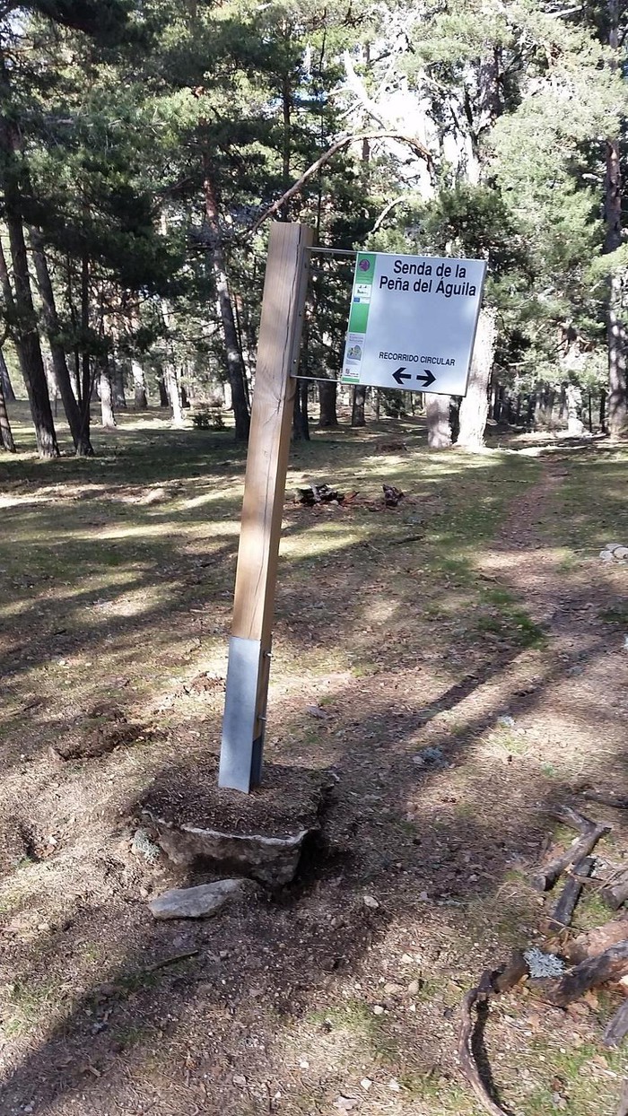 Information letter |
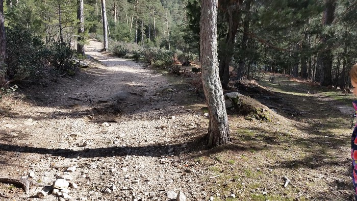 Intersection 7 |
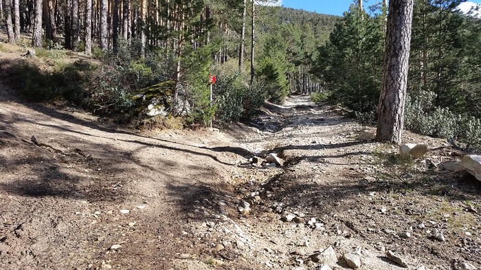 Intersection 8 |
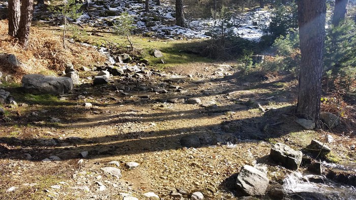 Arroyo |
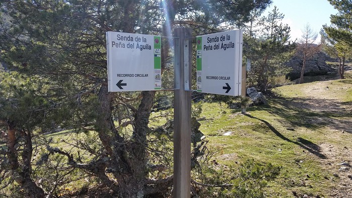 Intersection 9 |
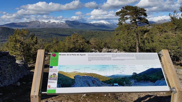 Eagle Peña Viewer |
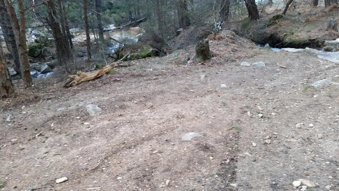 Intersection 10 |
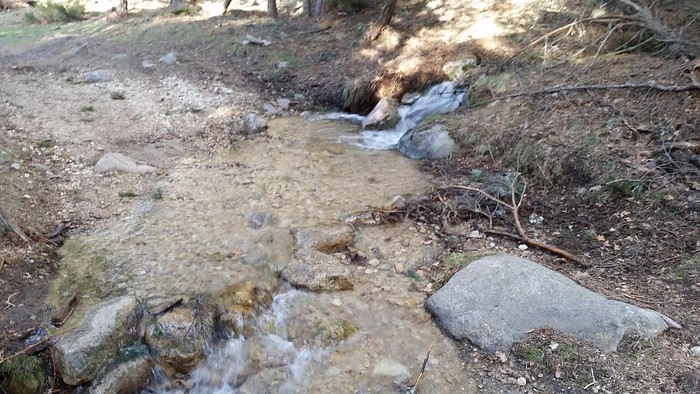 Arroyo |
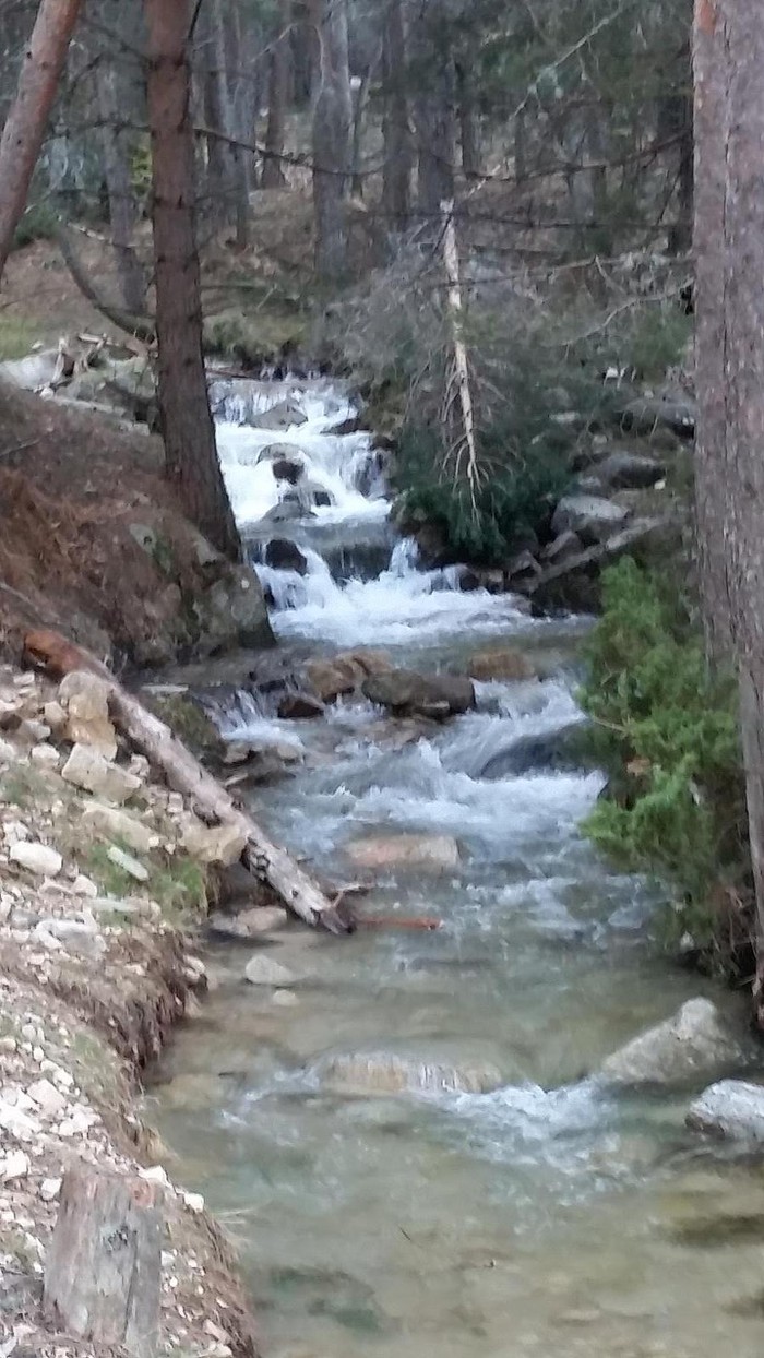 Major Arroyo |
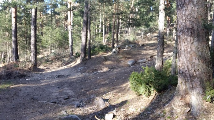 Intersection 11 |
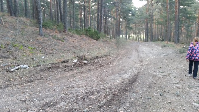 Intersection 12 |
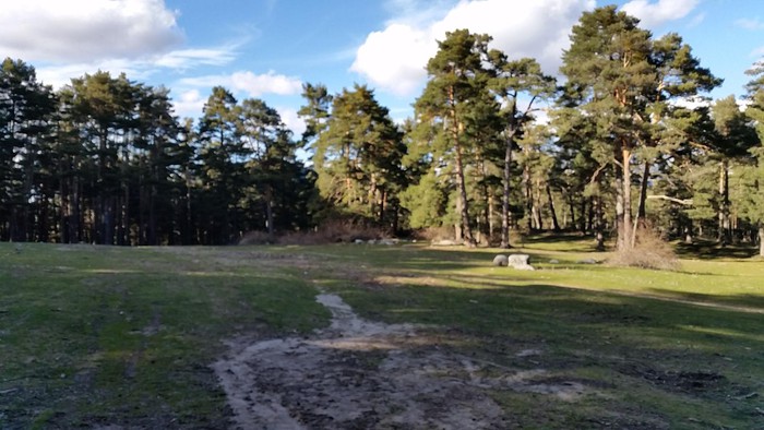 Prairie |
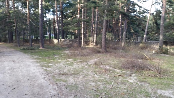 Near Las Monjas |
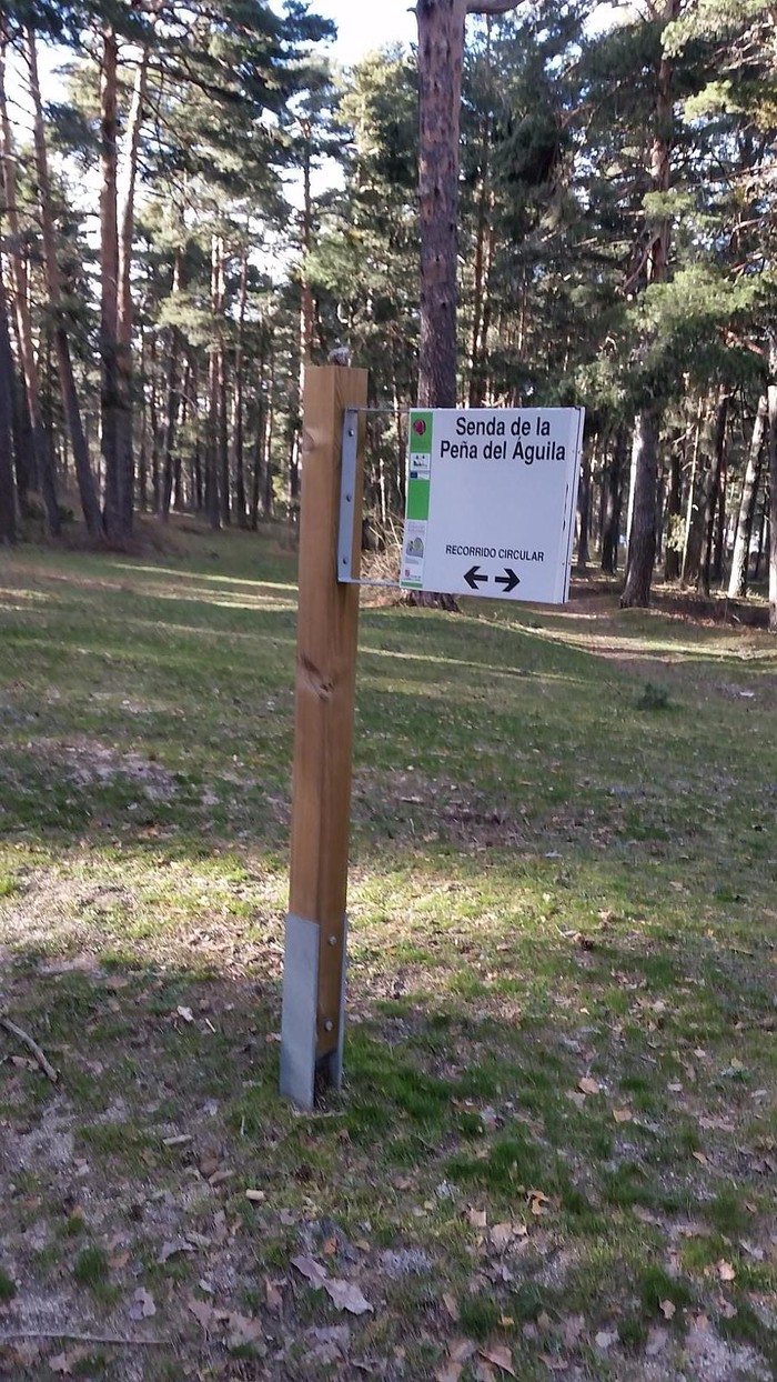 Intersection 13 |
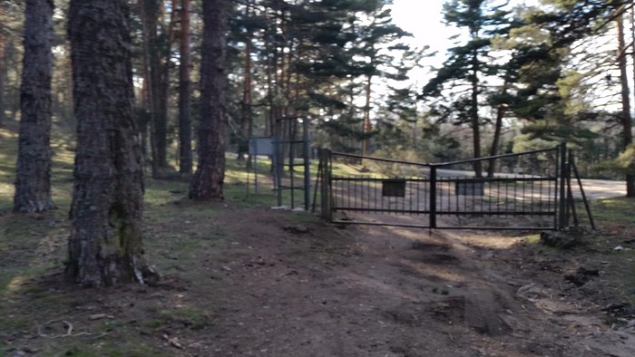 Portezuela |
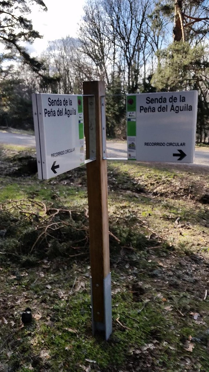 Intersection 14 |
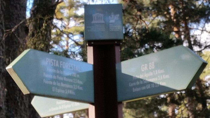 Intersection 15 |
The route begins at Calle Arroyo Mayor in the town of San Rafael (Segovia), just opposite the Hermitage of the Virgin of Carmen. All along the route you can enjoy a great wealth of both fauna and flora. It runs through a forest of wild Pino (pinus sylvestris) that in certain areas are accompanied by shrubs such as the wild rosal (canine rose), the white broom (florida Genista), the black retama (cytisus scoparius), the juniperus comunis (juniperus) or the jara stepa (cystus laurifolius). To start the route we leave the car right in front of the information signs and start the south direction walk up Arroyo Mayor Street, that stream we have to our left. We left behind a first intersection and arrived at the second, took the left and crossed the wooden bridge over that stream. Later on we went through a cancel and then at intersection 3 we took to the right by the "Camino de la Peña del Eagle" to the southeast end of the site known as "Close to the nuns." We continue to walk and at intersection 4, we continue again on the right, although if we continued on the left, we would be back on track. We ascend to the crossing with the Royal Leonese Canyon and leave behind intersections 7 and 8, in the middle of the lane there appears a stream whose waters will stop to the Major Arroyo, and after a last stretch of climb we arrive at intersection 9, right here we have the fabulous Peña del Eagle Mirador. The downhill is carried out on the other side of the Greater Arroyo, for this purpose at the viewpoint we seek the path that in a very steep downhill leads us to the very river, where we find the path of the GR-88 we follow it until we cross the Greater Arroyo and later Arroyo Secal, we go through a nice meadow, and we pass by the wall of the "Close to the Monjas" in its southwestern part, before we reach the asphalt forest track that joins the cores of San Rafael and El Espinar, here we took that track and went down to the car. In all, it's been just under 6 kilometers.
Links:wikiloc.com
Latitude:40.710695·Longitude:-4.177889