Water Route
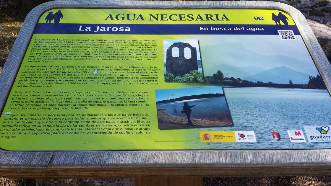 Water requiredSince 1968, the waters of the Pantano de la Jarosa, transform the landscape and invite the rest. At this point we find the second of the six milestones with an explanatory panel of the route, which provide a description of the landscape and serve as an orientation point. |
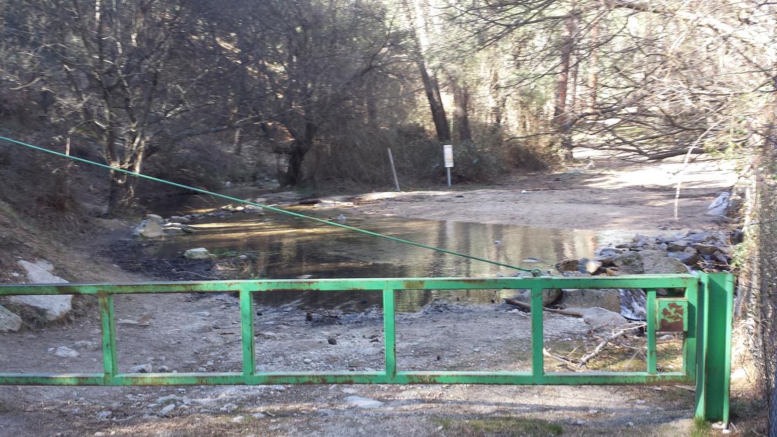 Arroyo and PuertaWhen there is a lot of water, as in the case of the photo, the only difficulty of the route is to cross this stream, then we will cross the door that prevents the passage of cars. |
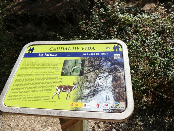 Life flow rateArrows that drive life in the forest, and relieve the walker. At this point we find the third of the six milestones with an explanatory panel of the route, which provide a description of the landscape and serve as an orientation point. |
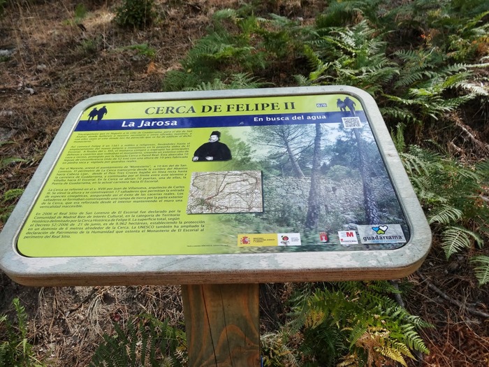 Near Philip IIAt the limit of the hunting and recreation of the palace of El Escorial. At this point we find the last of the six milestones with an explanatory panel of the route, which provide a description of the landscape and serve as an orientation point. |
Jarosa Embalse |
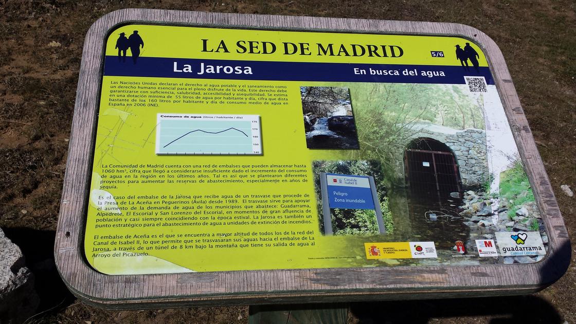 Sed de MadridA landscape marked by the need for water in the large cities. At this point we find the fifth of the six milestones with an explanatory panel of the route, which provide a description of the landscape and serve as an orientation point. |
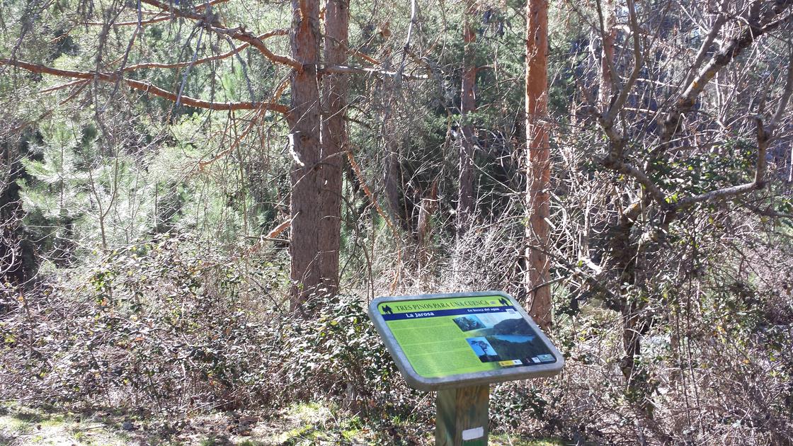 Three pines for a basinPino jaricio, resinero and wild that are part of the slopes of La Jarosa. At this point we find the fourth of the six milestones with an explanatory panel of the route, which provide a description of the landscape and serve as an orientation point. |
The circular journey leaves from the recreational area Jarosa II, where you can park, and right at the entrance of the access road begins the road next to the fence of the reservoir of La Jarosa. Continuing the path that borders the water sheet is walking between pine trees and trees of humid areas. The road continues to a road crossing and a stream, which is necessary to cross to follow the route. After the stream a door is crossed that prevents the passage of vehicles, gently ascending and entering the pine until the views of the reservoir are gradually lost. About 500 meters from the stream you leave an explanade in which you see a water collection and you cross a small stream again. Here the road ascends on a path with a slightly more pronounced but short slope, from which you have a splendid view. As a reference of the place we will see a low-intensity electric line. At this crossing, the track is taken to the left for about 300 meters to reach the close of Philip II, located next to a curve after crossing the stream of El Picazuelo. From this point it is returned to the beginning of the forest track, leaving the previous detour on the right, until reaching the asphalt forest track that leads us to the recreational area of Jarosa II, beginning of the tour.
Latitude:40.657517·Longitude:-4.136126