Itinerary by Zarzalejo
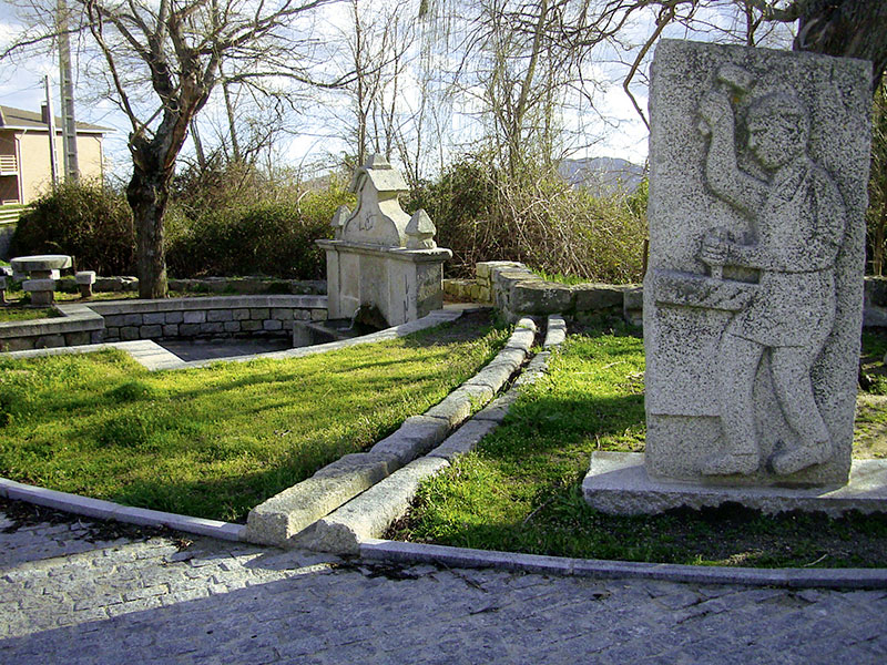 Old Caño18th century source built in granite. |
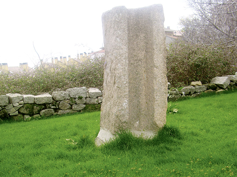 Fragment of the Segovia AqueductAs a reminder of the belonging of Zarzalejo to Segovia and in particular to the Sexmo of Casarrubios and the common past that unites them, this province gave Zarzalejo an imitation stone to those who make up the Aqueduct of that city. |
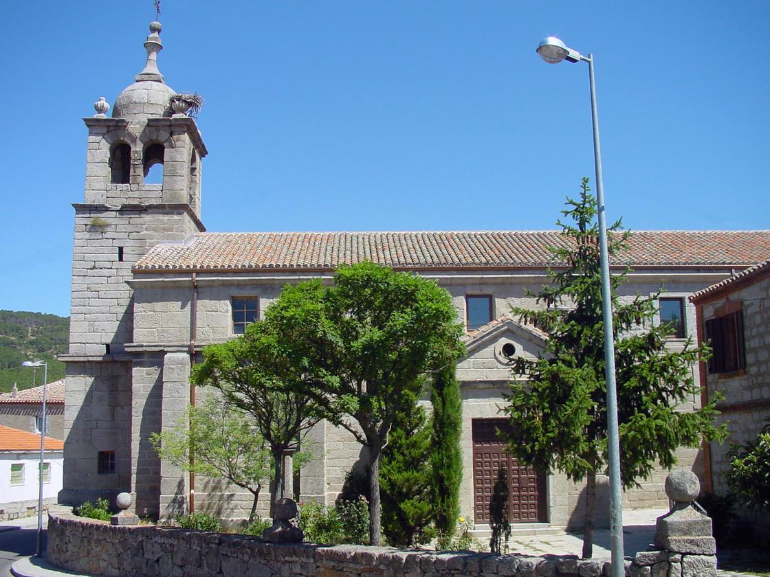 Church of San PedroReconstructed in 1619, date that is recorded in the key of the vault. It is made of silery stone and stands out its beautiful tower and the spherical ornaments of herriian ascending that adorn the set. The ship is covered with a barrel vault; at the feet the choir rises, to which it is raised by a stone ladder. |
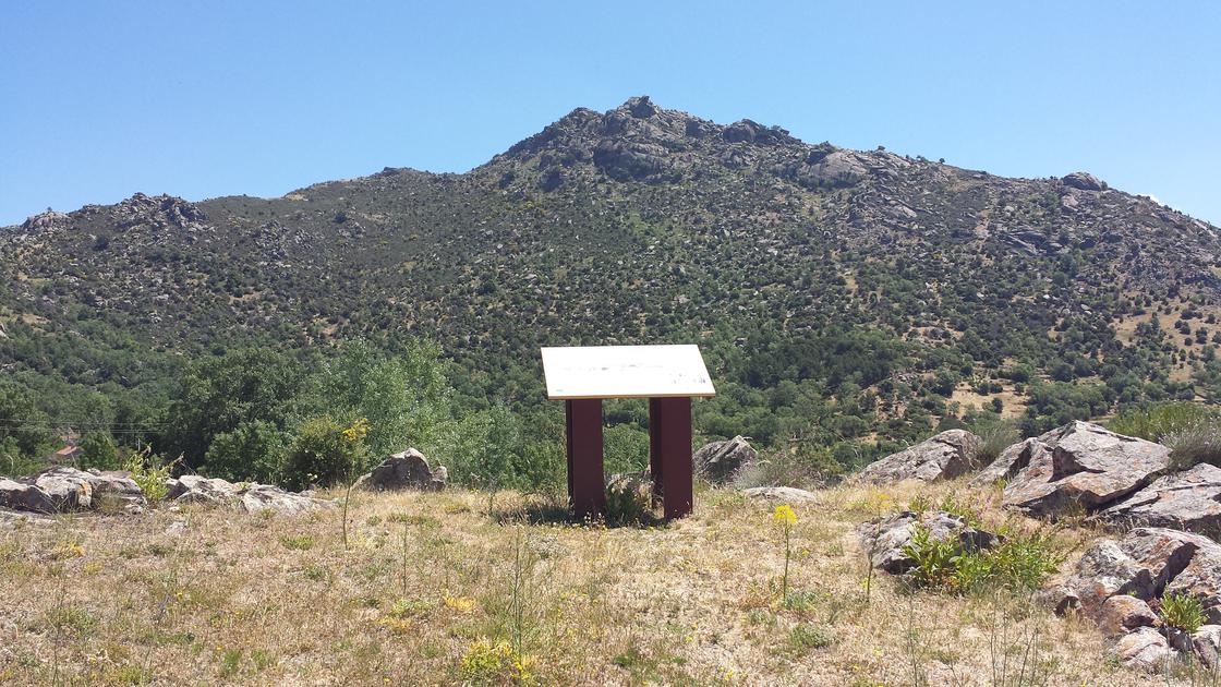 MiradorThe High Machota, Low Machota, station, dehesas,... |
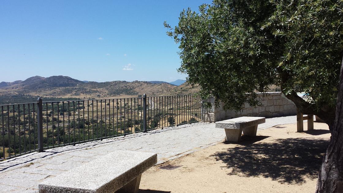 Wink ViewerOriented to the southwest, it provides excellent views of the dehesas. Rural houses with traditionally serrana structure and construction can be seen nearby. |
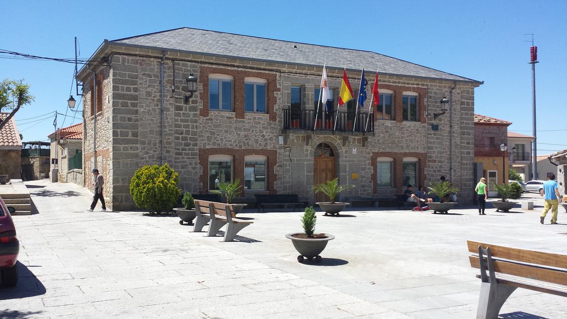 Square of the ConstitutionThe Plaza de la Constitución is the town's meeting centre, located in the town hall and there are several bars with terrace and a craft shop. All over the perimeter of the square you can see vertical blocks of perforated granite, called talanqueras, which serve as a attachment to the wooden rails that close the square (formerly closed for the cattle fair and currently for bullfighting during the holidays). |
Intermediate point 40,547168 -4.183806 |
Intermediate point 40.547053 -4.183710 |
Intermediate point 40,547184 -4.183581 |
Intermediate point 40,547388 -4.183173 |
Intermediate point 40,548847 -4.181478 |
Intermediate point 40,548692 -4.181714 |
Intermediate point 40,547534 -4.177465 |
Intermediate point 40,546572 -4.177455 |
Intermediate point 40,547274 -4.180652 |
Intermediate point 40,547013 -4.180309 |
Intermediate point 40,547738 -4.178678 |
Intermediate point 40,547127 -4.176779 |
Itinerary on the streets, lookout for Zarzalejo.
Latitude:40.549725·Longitude:-4.183683