Navacerrada reservoir
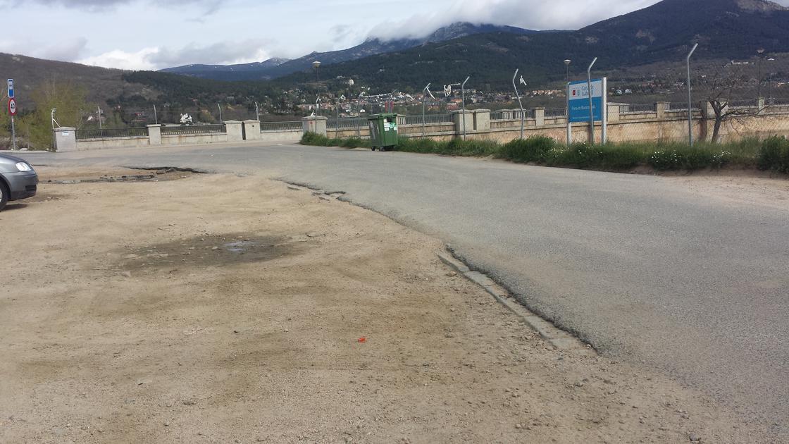 Parking |
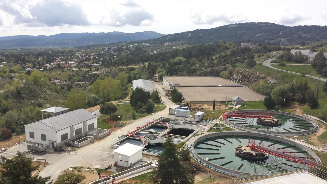 Debugger |
 DeviumDeviation to the right |
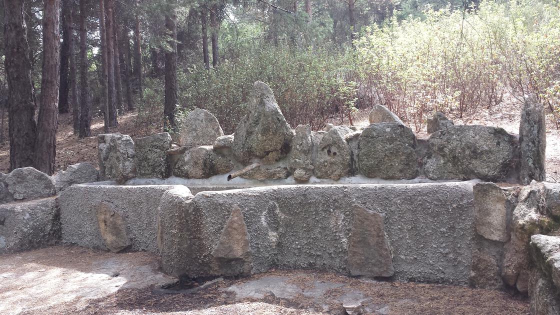 SourcePicnic source and siithium. |
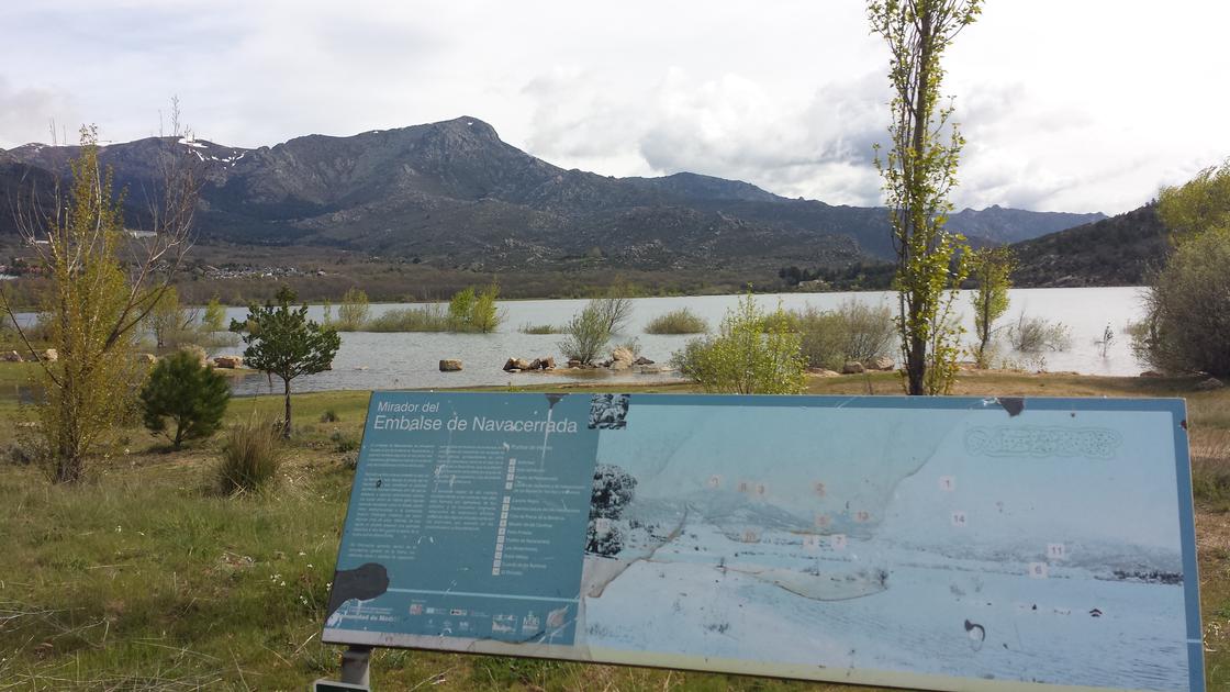 MiradorMirador del Embalse de Navacerrada |
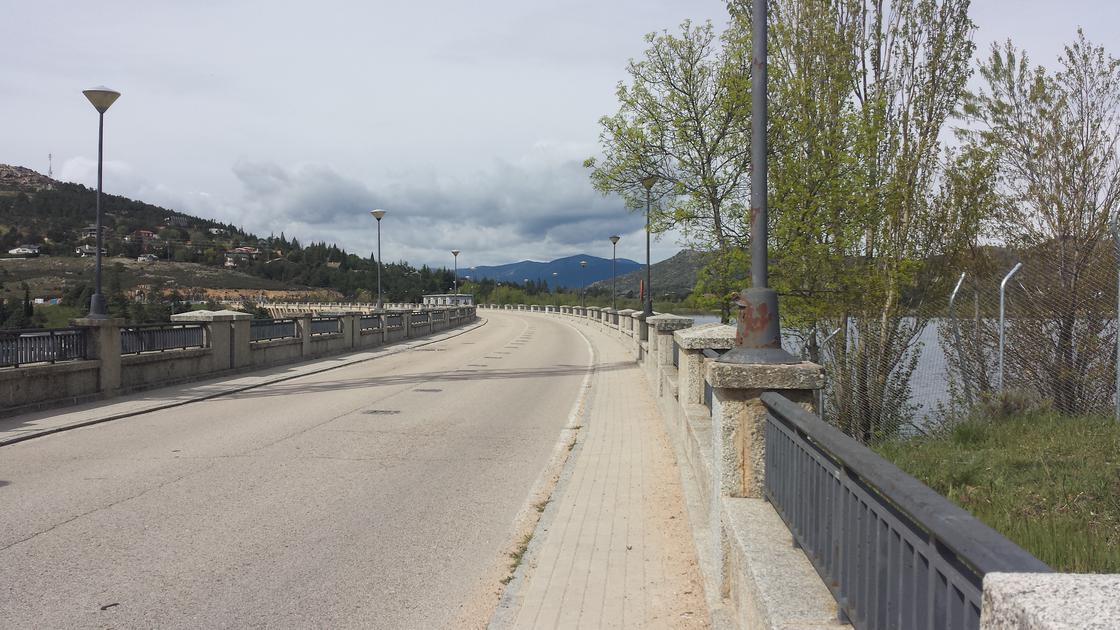 DamThe Navacerrada reservoir is used to supply water to much of the municipalities of the Madrid side of the Sierra de Guadalrama. In the 1950s, one of the main shortcomings of these peoples was water supply. |
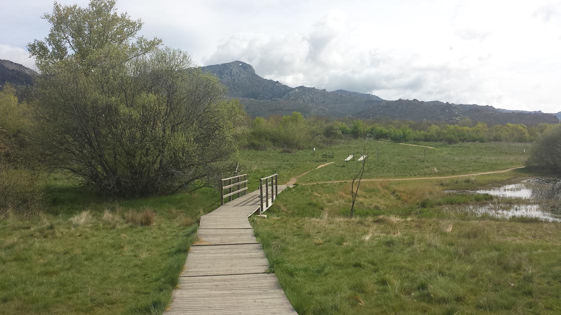 Bridge 1First bridge we passed, and in the back, gym equipment. |
Bridge 2 |
Bridge 3 |
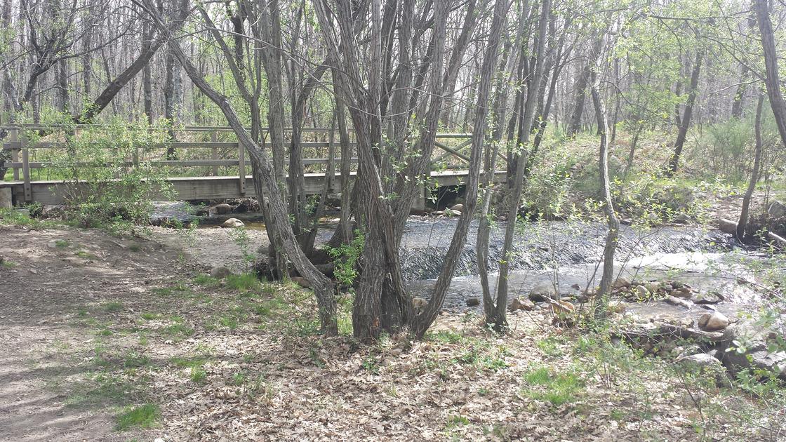 Bridge 4 |
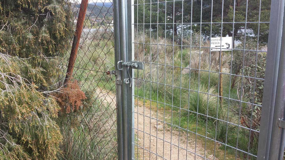 VerjaWe went through the gate door. |
March around the Navacerrada reservoir by starting this route in the parking lot on the right side of the reservoir wall. Following the right bank of the reservoir goes as close as possible from the water. It is followed in the vicinity of the village of Navacerrada and reached a point used as a park of that village in the vicinity of this swamp. It is followed by the left bank and reached the wall of the reservoir, only remains through and we reach the starting point.
Latitude:40.713227·Longitude:-4.007496