Circular The Medals
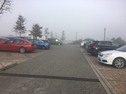 Parking |
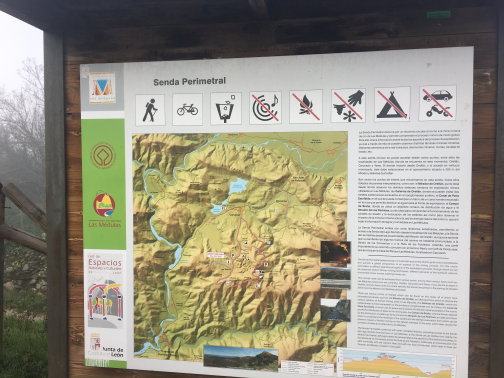 Information Panel |
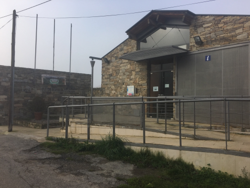 Information Centre |
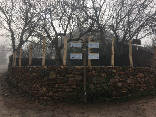 Displacement with indicators |
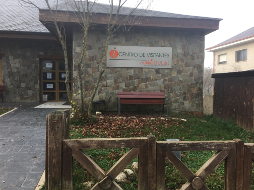 Visitors' Centre |
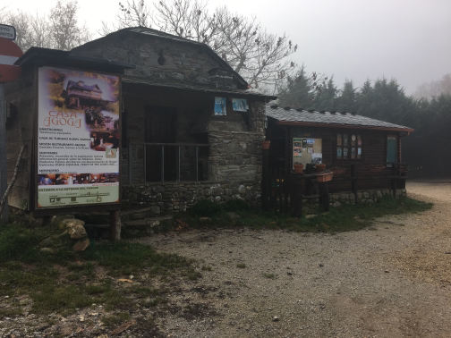 Casa Agoga |
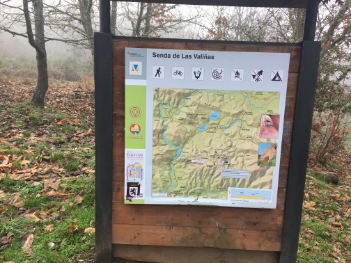 Information Panel |
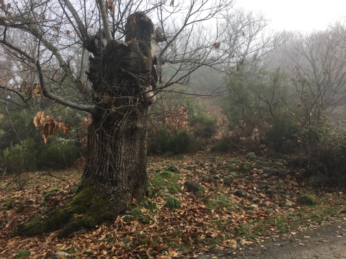 Chestnut |
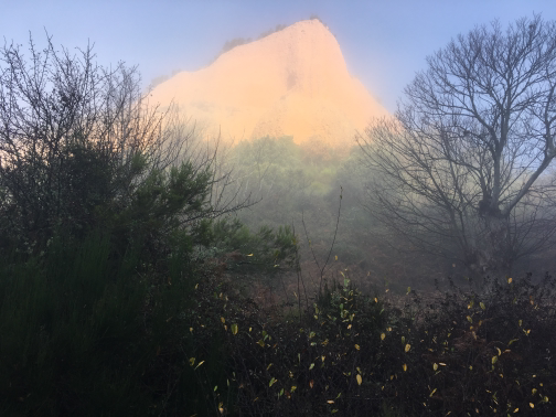 Waypoint 10 |
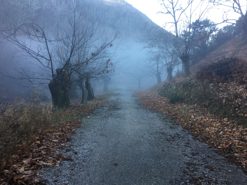 Waypoint 11 |
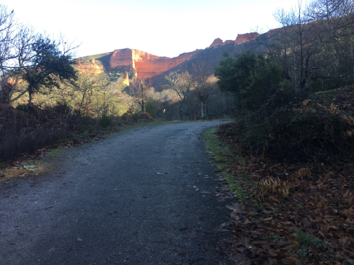 Waypoint 12 |
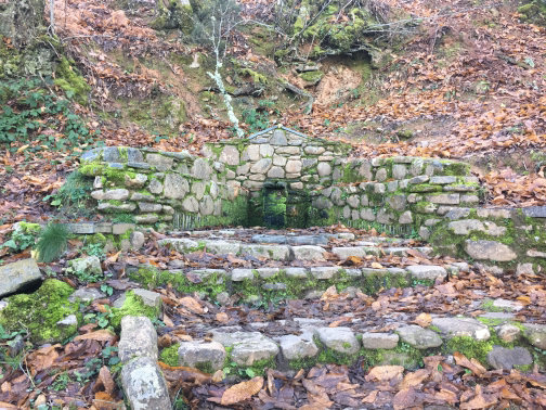 Source of the Auntie Viviana |
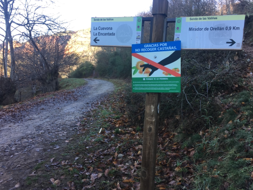 Indicators |
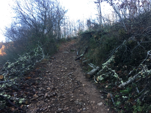 Senda al Mirador de OrellánI begin the path that leads to the Orellan Mirador. 900 meters up slope. |
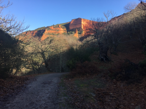 Waypoint 16 |
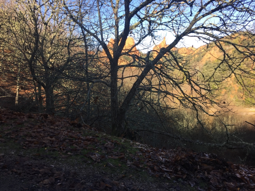 Waypoint 17 |
 Waypoint 18 |
 Waypoint 19 |
 Waypoint 20 |
 Waypoint 21 |
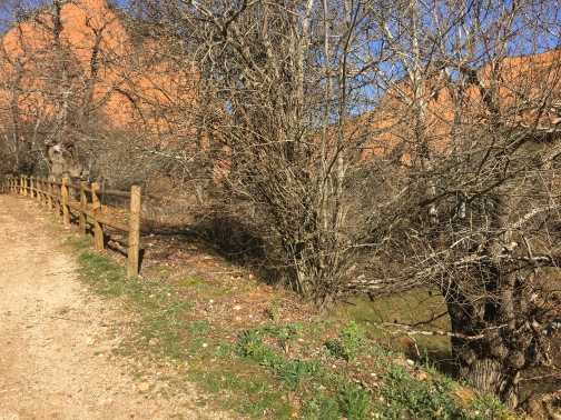 Waypoint 22 |
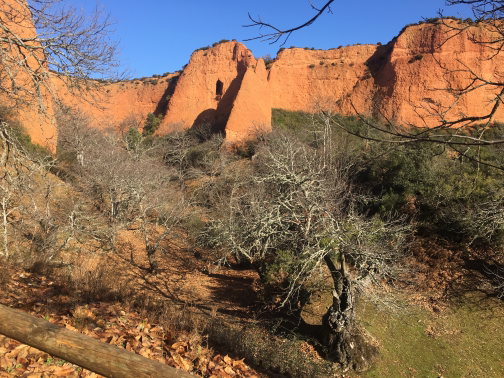 Waypoint 23 |
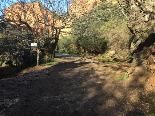 Waypoint 24 |
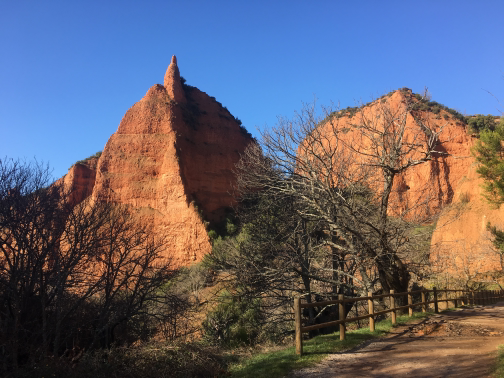 Waypoint 25 |
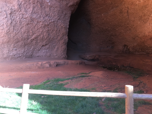 The Cuevone |
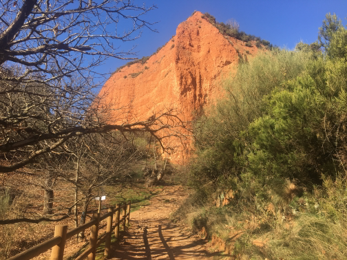 Waypoint 27 |
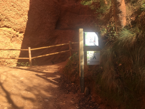 The Enchanted |
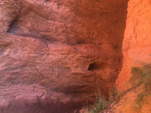 Mina Romana |
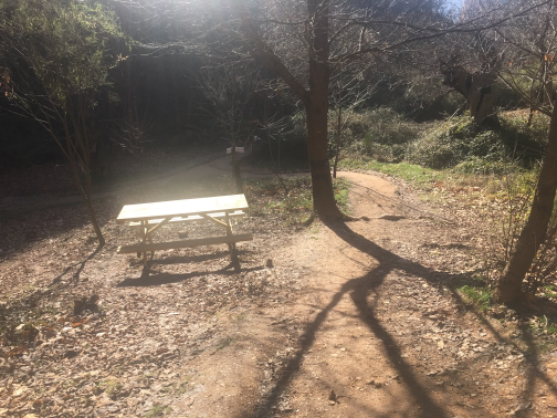 Waypoint 30 |
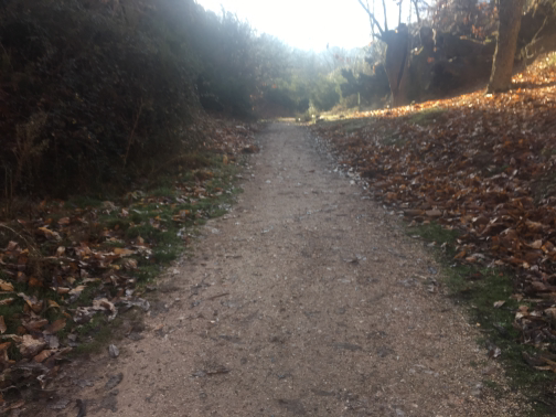 Waypoint 31 |
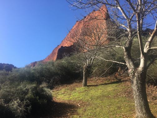 Waypoint 32 |
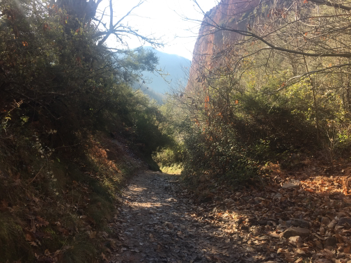 Waypoint 33 |
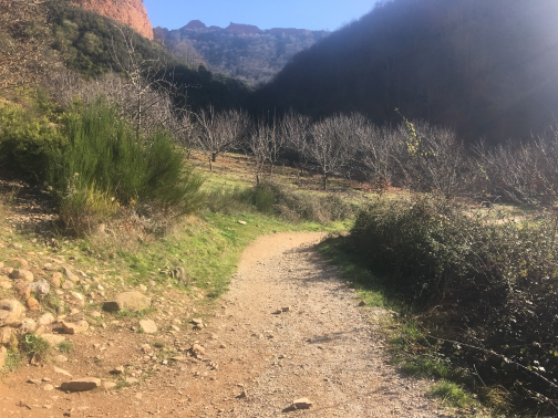 Waypoint 34 |
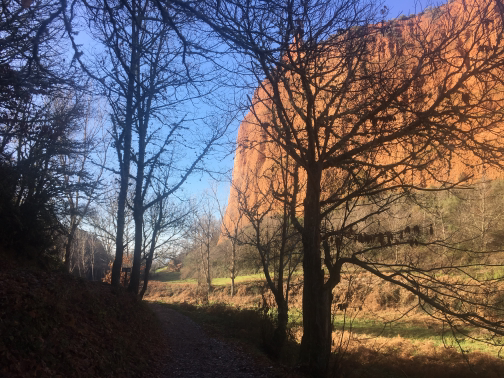 Waypoint 35 |
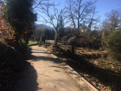 Waypoint 36 |
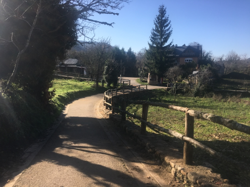 Waypoint 37 |
Information Panel |
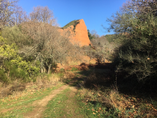
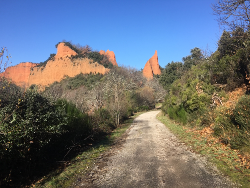
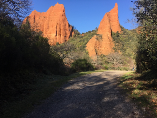
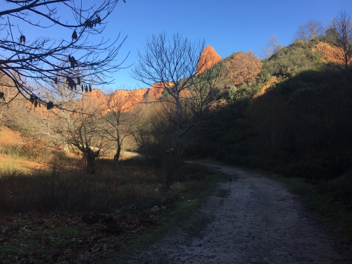
Impressive landscape, and even more impressive to know that it is the result of the exploitation of a gold field by the Romans. It is amazing to think how this result was achieved with the technology of then and without machinery.
Latitude:42.461508·Longitude:-6.767356