Arboreto - Pto. El Malagon - Abandos
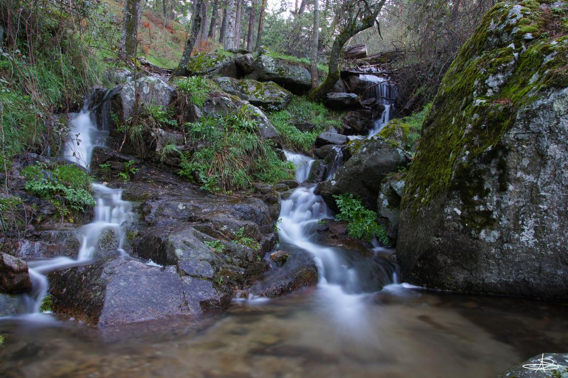 Cascade |
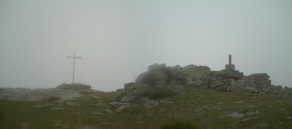 Cima AbandosAt the top of the Abandos there is a weather station and a yellow electromagnetic signal reflector panel, characteristic of this mountain. Also a cross and a geodetic vertex. From here you can see good panoramic views of San Lorenzo de El Escorial, the Monastery and the whole natural environment. |
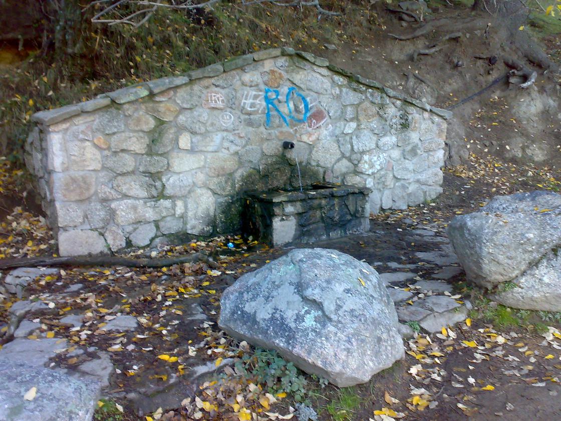 Source of the Concha |
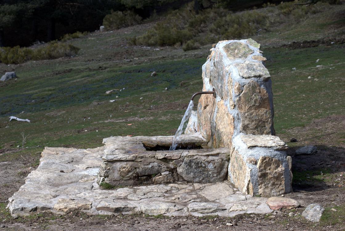 Source of the CervunalIt owes its name to the brewery (Nardus stricta), a mountain granny around it, and is accompanied by Herba de San Antonio. |
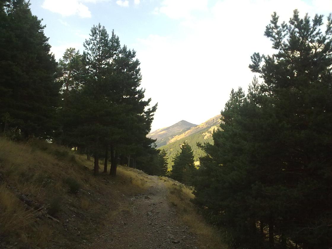 GR-10 (Tramo Abandos) 1Follow the standard signage: two parallel horizontal stripes, the white top and the red bottom. |
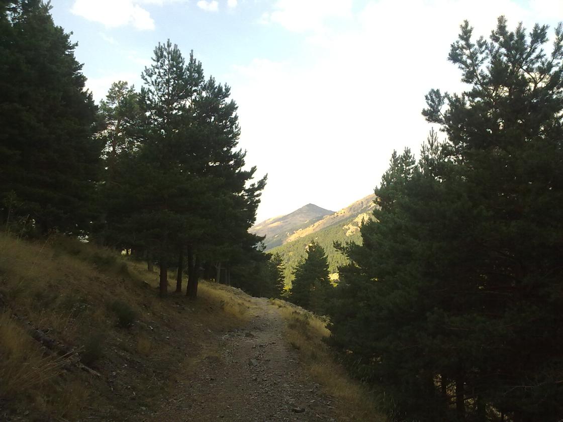 GR-10 (Tramo Abandos) 2 |
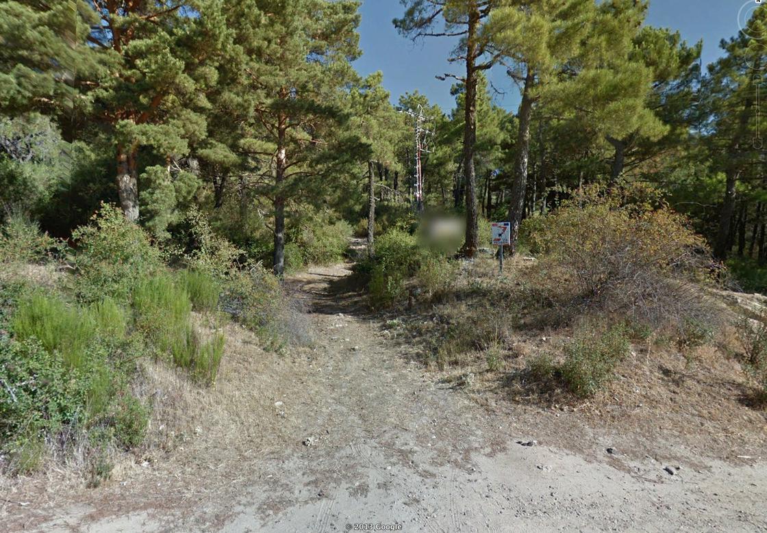 Home Via PecuariaThe path of land, as indicated by the signs, is a branch of the Royal Leonese Canyon. This is when it starts the hardest stretch of the itinerary, which ends 1,350 km later, in the Puerto del Malagon, at 1,533 m altitude. Also at this point, a panel informs the walkers of the importance of the snow wells of Mount Abandos, built to supply the Royal Monastery of San Lorenzo de El Escorial and whose purpose was to maintain as long as possible the snow deposited during the season. |
Small ExplantedAt this point you have to go to the left side and cross a small stream so you can continue up the slope. |
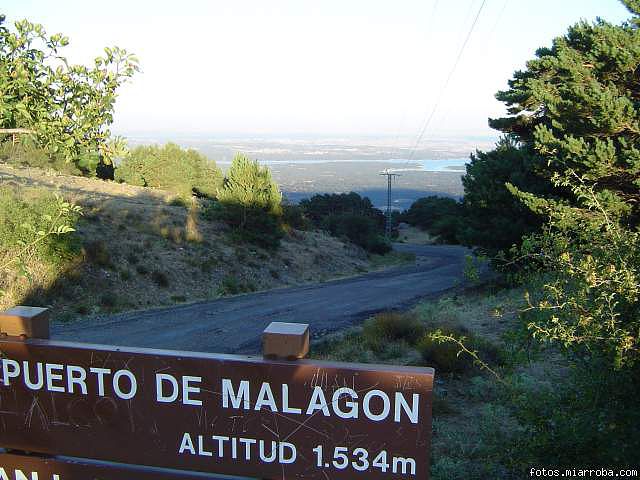 Puerto del MalagonThe port of Malagon, also known as the Alta de Abandos or the port of San Juan de Malagon, is a mountain port located in the southwest part of the Sierra de Guadalrama (saw belonging to the Central System). It has an altitude of 1.590 meters and the communal road that passes through it communicates the municipalities of San Lorenzo de El Escorial (Madrid) and Peguerinos (Ávila). To the west of the port is the Sierra de Malagon, which gives the name. The mountain pass is located on the southern slope of Mount Abandos, so it is the starting point of a road leading to the top of that mountain. |
Latitude:40.596692·Longitude:-4.164795