Turnips - Jerte
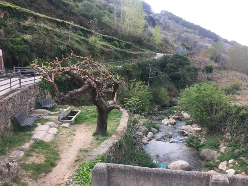 ParkSmall park by the river Jerte. |
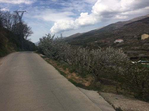 InitialInitial course of the route. |
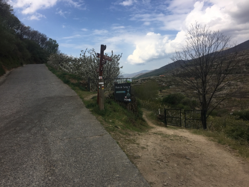 Devium |
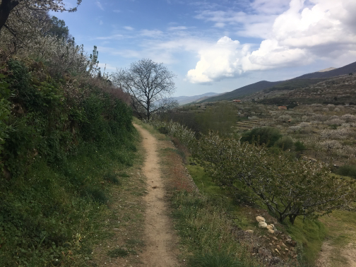 Path |
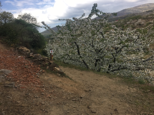 Displacement |
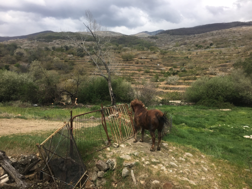 Views |
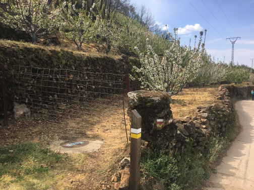 Indicators |
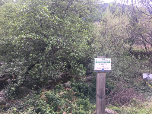 San Martín Bridge |
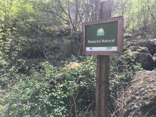 Cartel |
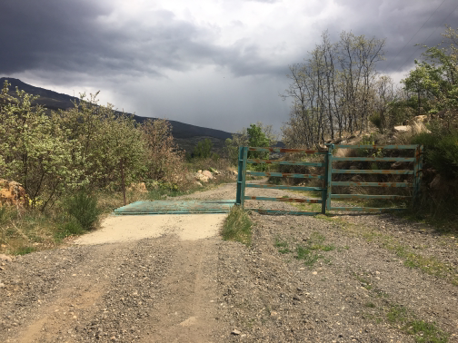 Canadian Pass |
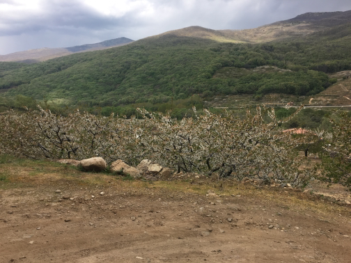 Views |
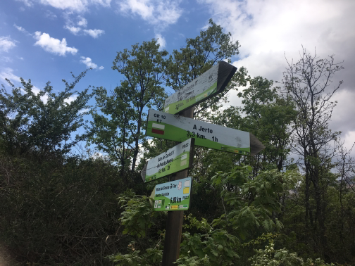 Indicators and divulge |
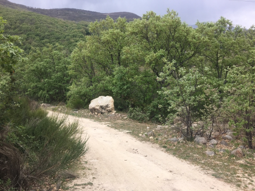 On the way to Jerte |
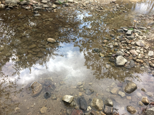 ArroyoI'm going through the stream. |
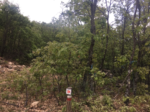 Forest |
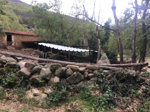 Farm |
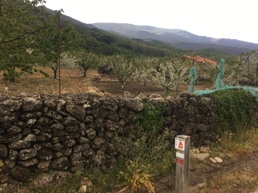 Indicator |
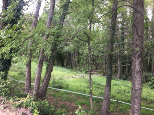 Rivera del Jerte |
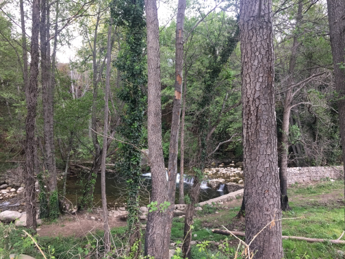 River Jerte |
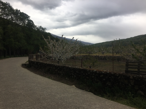 Tres |
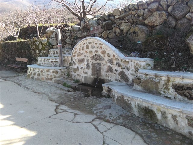 Source of the Linars |
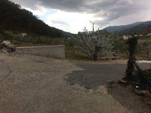 Devium |
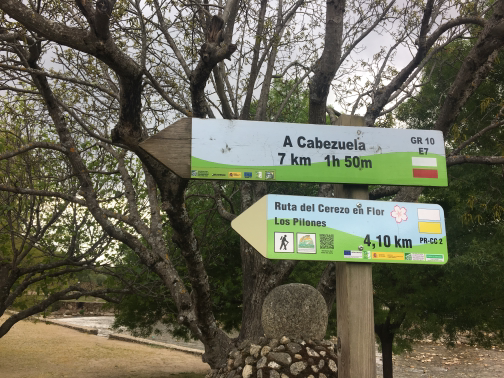 Information panels |
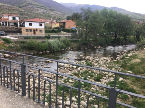 Long Bridge |
Displacement |
Views |
Devium |
A route that unites the towns of Tornavacas and Jerte, most of which run along the Charles V route. The path is all in smooth slope down.
Γεωγραφικό πλάτος:40.254272·Γεωγραφικό μήκος:-5.688000