Puerto Navacerrada - Cercedilla
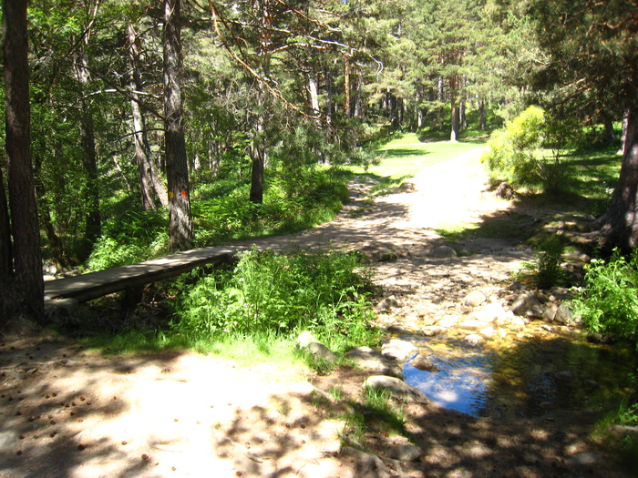 Arroyo FucrogiaWe crossed the stream over a bridge. And we have a few meters to the hostel. |
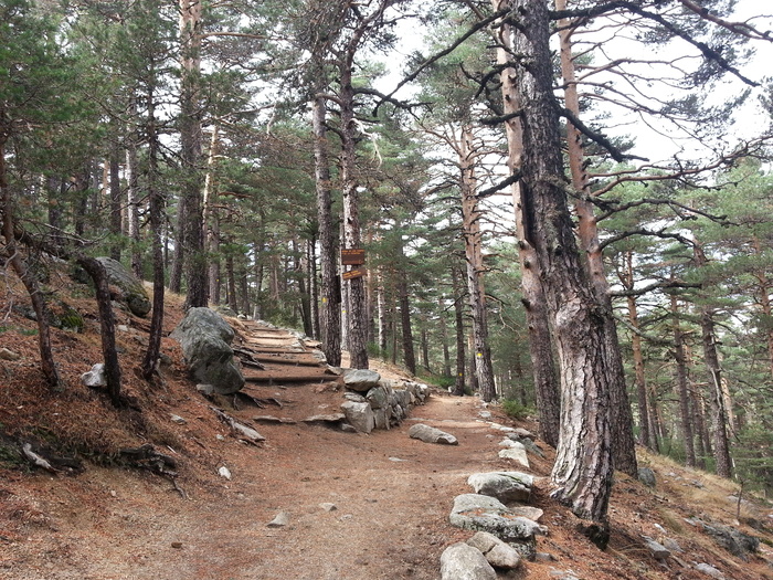 BifurcationBifurcation Ventous Collar - Pto. de la Fucofría. If you want to continue along the Schmidt road, you have to go to the Ventous Collar, if you don't take the Cospes path on the way to the Port of Fucogia. The Senda de los Cospes is a softer variant, bordering the north side of the Cerro Ventoso to win the port of La Fucofría. Once here, go down the Roman road to the road of the Dehesas and, by it, to Cercedilla. |
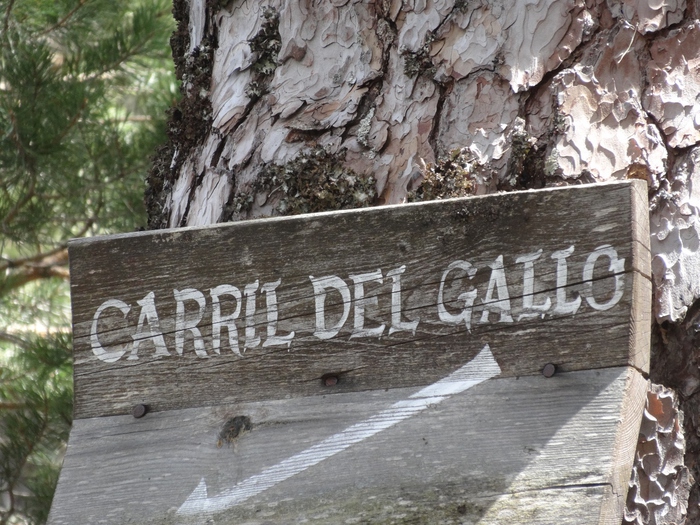 Rooster lane |
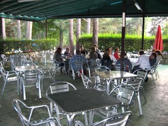 Casa CyrilThe bar has two summer terraces and an internal dining room on the second floor. |
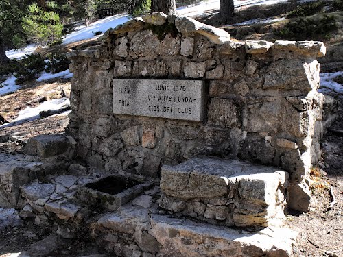 Fountain of the Fucochia |
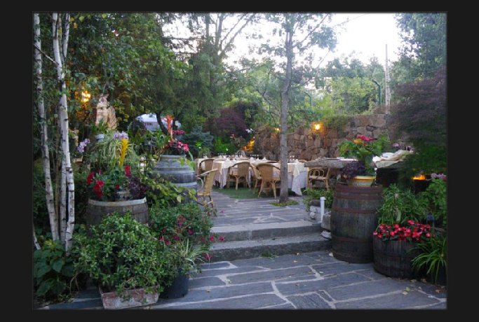 The FruitsGood restaurant, you need to book. |
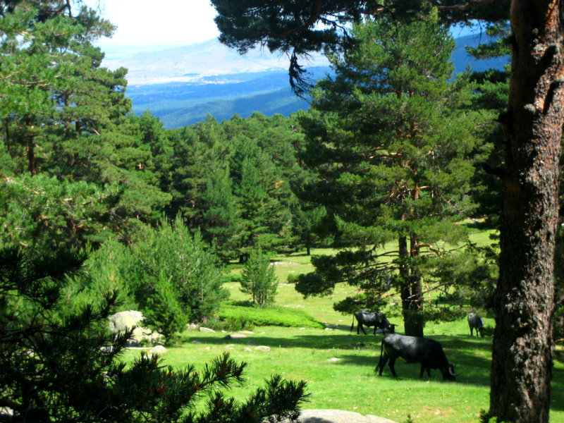 Navalusilla meadow.A good place to take a break. From there we continue to the fork: Ventous Necklace - Pto de la Fucofría. |
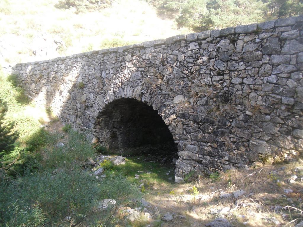 Barefoot Bridge.Here is the Barefoot Bridge, which saves the Arroyo de la Fucofría. Although a Roman origin has always been attributed to it, recent research, completed in 2006, has concluded that it was raised in the first third of the 18th century, as has the paved road with granite slabs that runs through the port, from which it was also said to be Roman. . |
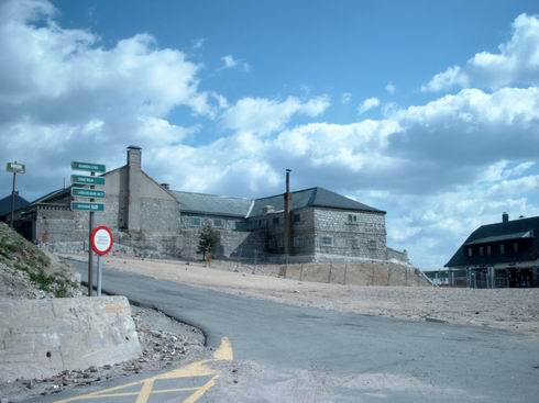 Port of NavacerradaPort of Navacerrada. From there it rises (leaving the track of the telegraph to our left) along the asphalt road towards the residence of the Air Army on the hill Los Cogorros. |
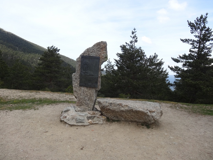 Puerto de la FucofríaThis mountain port has an altitude of 1796 meters. The passage was created by the ancient Romans to communicate both sides of the saw, for which they built a Roman road from Las Dehesas de Cercedilla, in the Valle de La Fucofría (south), to the port and Segovia. It currently has only one sports use, being frequented by mountaineers. In the port are crossed the Roman road, the Highway of the Republic, the forest track called La Calle Alta and trails that ascend to nearby mountains. The port was originally about five meters above the current one. It was undermined around 1720 to facilitate the passage of the road that was conditioned during the reign of Philip V to communicate La Granja with Madrid. 1 |
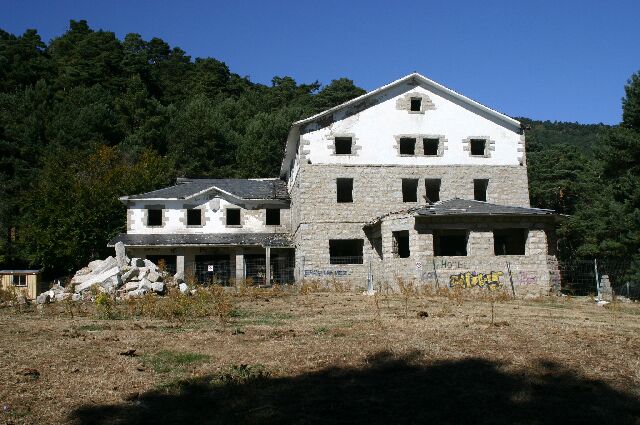 Refugio PeñalaraRSEA Peñalara Refuge. Let's finish the road along the Roman road. |
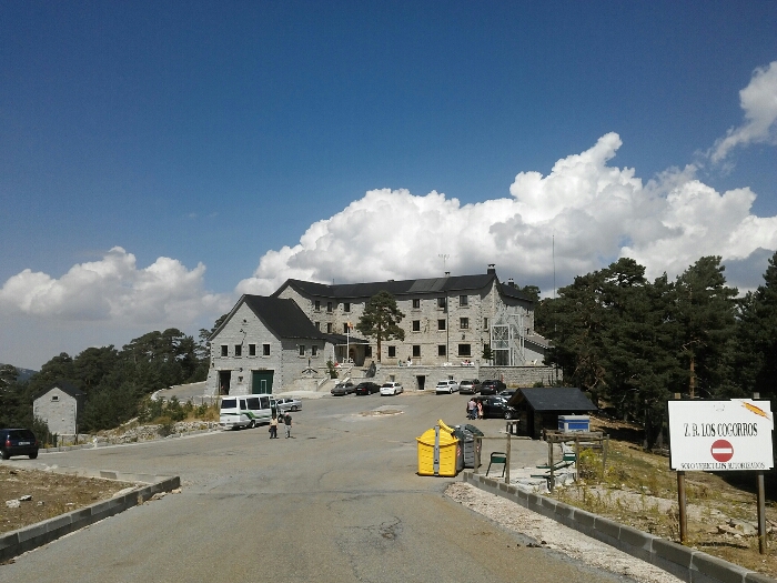 Residence of the CogorrosCogorros' residence. There begins the path of @ Camino @ Schmidt itself, by which we continue to the meadow of Navalusilla. The whole path is marked by yellow circles in the trees. |
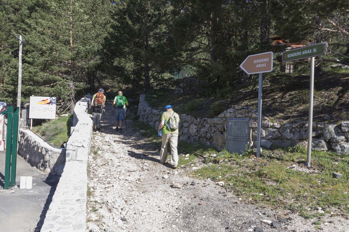 Senda AriasStart of the Arias path, which from the train station, leads us to the Venta Arias bar. |
The route that is located in the train station of the Port of Navacerrada, along the way Arias is reached to the port and from there at the beginning of the road Schmid and from there to the Port of the Fufrocía, where we will go down several paths marked to the train station of Cercedilla, by the dehesa. This route has variants: - Go through the Ventilous Collado instead of the port of Fucofría. This alternative slightly hardens the rising route and softens it down. - In the end instead of going down the dehesa go down the Puricelli road (Republic Road) or the Water road. This alternative extends the route and avoids walking next to a road. .
Γεωγραφικό πλάτος:40.784456·Γεωγραφικό μήκος:-4.004544