Port of Canencia
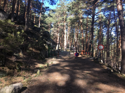 BarrierAbout 200 metres from the start of the track, a barrier prevents the passage of vehicles. You must walk through the door on the left. |
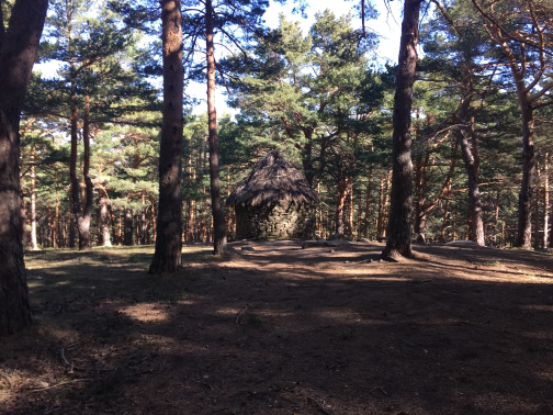 ChozaContinuing on the track, you reach an indicator of a detour that leads to a pastoral hut. Following the path, to the right of the road, you can visit, returning to the track a few meters later. . |
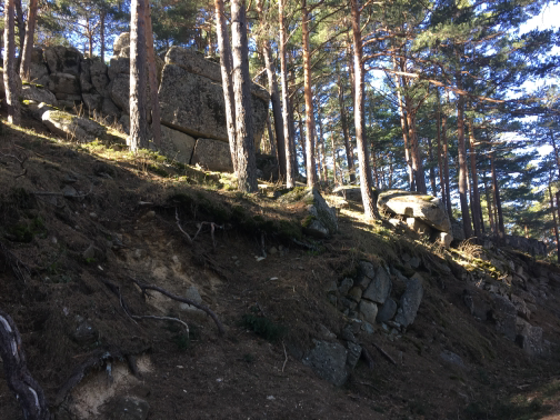 Waypoint 5 |
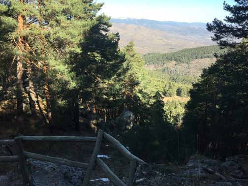 North MiradorCoinciding with a sudden turn of the road, which leads towards SO, the North Mirador allows to see a wide view of the Sierra thanks to the absence of vegetation that provides a firewall. . |
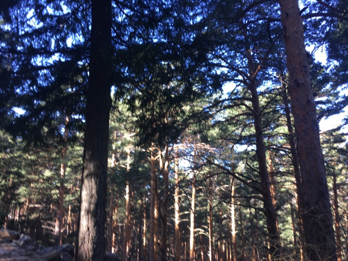 Waypoint 7 |
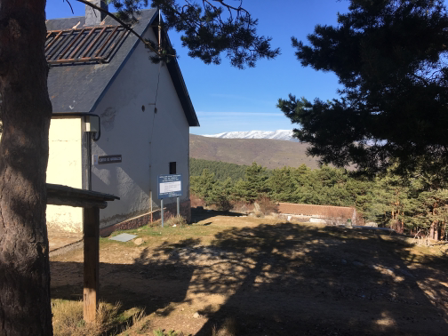 Environmental Education Centre |
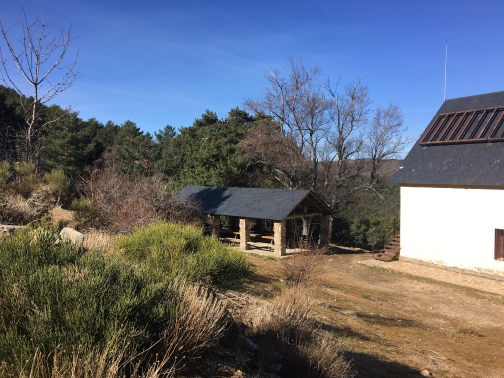 Hostel of the NailIn front of the hostel there is an access to the interior, next to the signpost, by which you can enter the enclosure and continue along the vicinity of the road to reach the beginning of the ecological path. . |
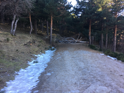 Waypoint 11 |
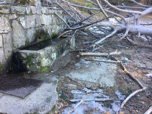 Source of the BrushThe Fountain del Hornillo, located next to the road linking Miraflores de la Sierra with Canencia, is one of the most characteristic elements of the Port of Canencia. |
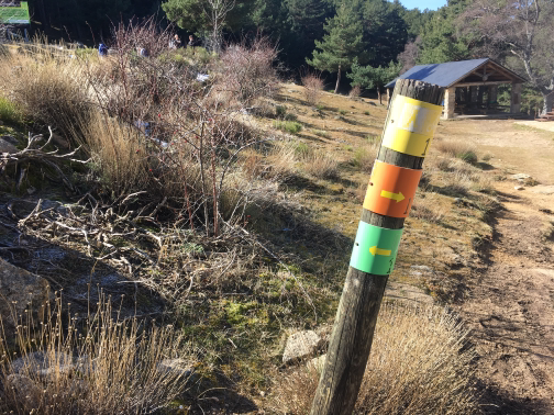 Displacement with indicatorAt this point we will leave the way, to continue on the path that enters the forest. |
 Waypoint 15 |
 Waypoint 16 |
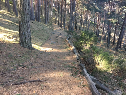 Waypoint 17 |
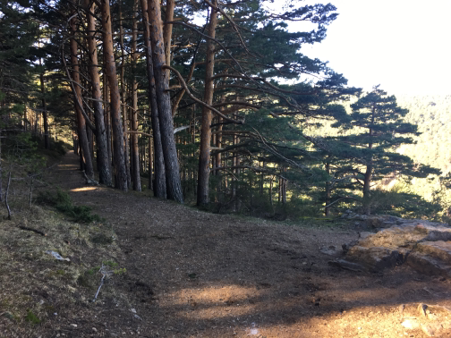 Waypoint 18 |
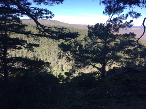 Waypoint 19 |
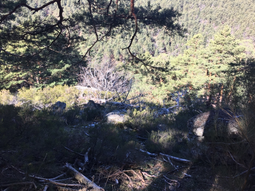 Waypoint 20 |
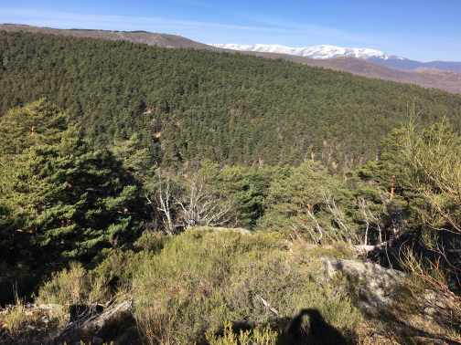 Waypoint 21 |
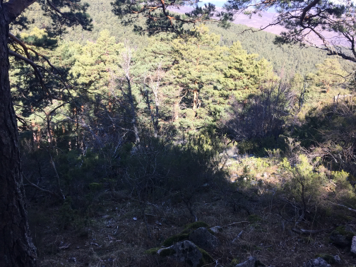 Waypoint 22 |
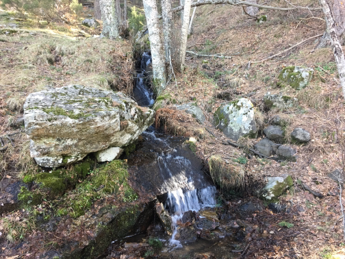 River cross |
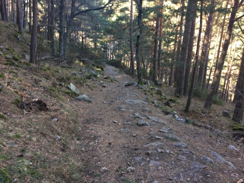 Waypoint 24 |
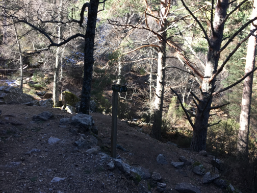 Waypoint 25 |
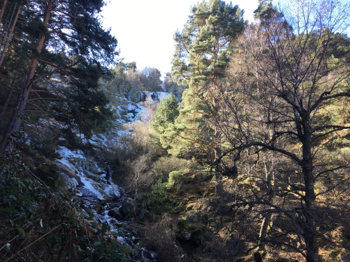 Slayer of MojonovalleThe waters of this waterfall are from the Sestil del Maíllo stream, a tributary of the Lozoya River. It has a height of 30 meters and is at an altitude of 1,589 meters. The rocks on which the waterfall is on give it a fairly irregular and shredded form. It is located in a mixed forest made up of wild and birch pine trees, and is reached through a road of 4.4 km that leaves the port of Canencia. |
 Waypoint 27 |
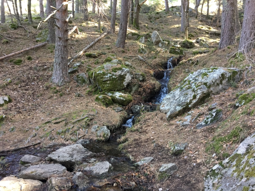 River cross |
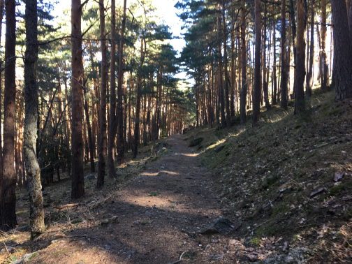 Waypoint 29 |
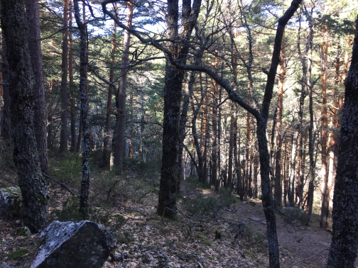 Waypoint 30 |
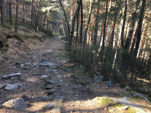 Waypoint 31 |
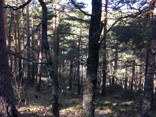 Waypoint 32 |
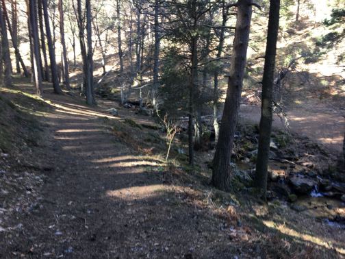 Waypoint 33 |
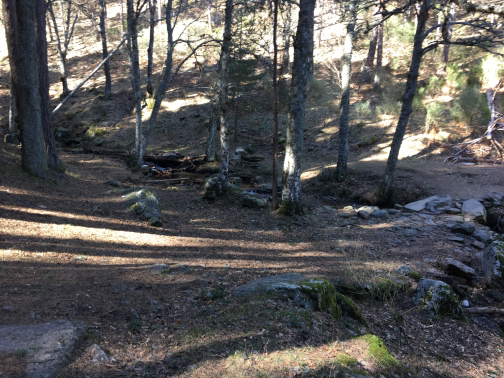 Waypoint 34 |
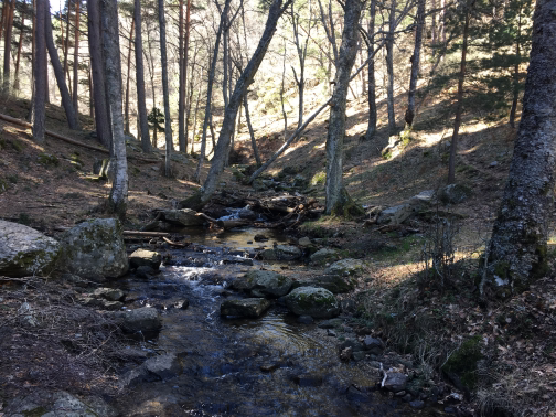 Arroyo del Sestil |
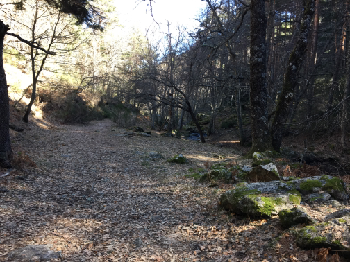 Waypoint 36 |
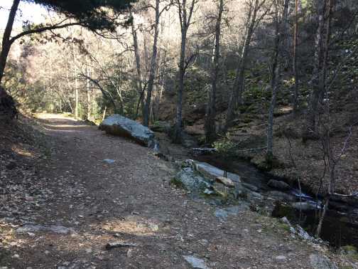 Arroyo del Sestil |
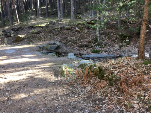 Bridge |
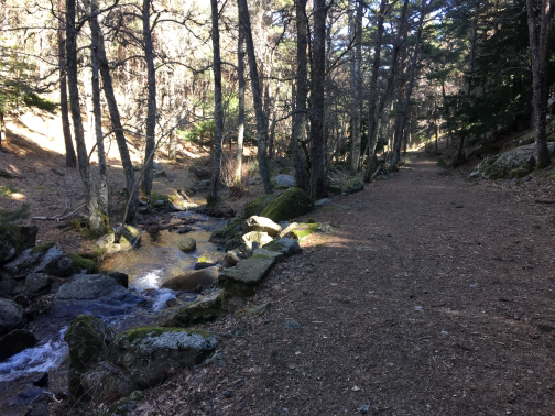 Waypoint 40 |
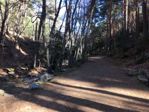 Waypoint 41 |
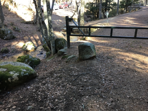 Barrier |
 Waypoint 43 |
 Waypoint 44 |
 Waypoint 45 |
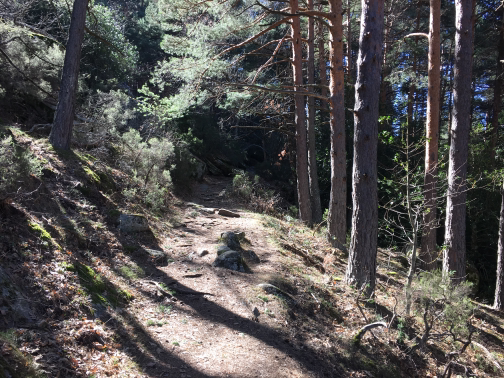 Waypoint 46 |
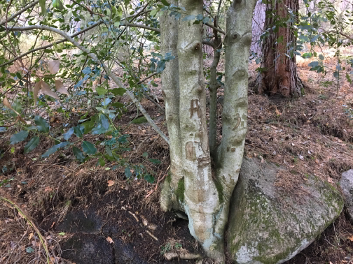 Waypoint 47 |
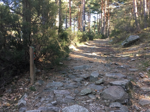 Waypoint 48 |
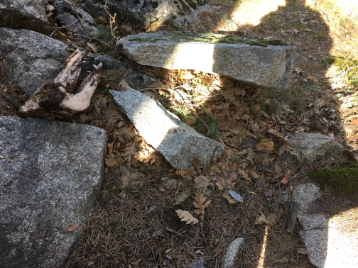 Waypoint 49 |
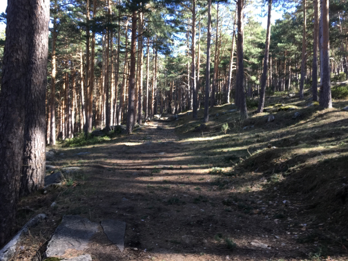 Waypoint 50 |
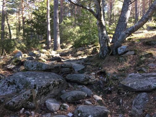 Waypoint 51 |
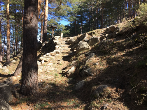 StepsStairs to return to the initial path. |
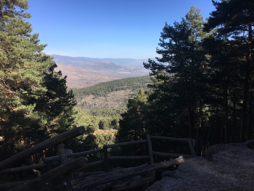 Waypoint 53 |
River cross |
Arroyo del Sestil |
Barrier |
The route cannot be accessed by public transport, but must be made by private vehicle. The route runs through the gloomy of the port of Canencia, one of the places where plant species have best been preserved in our Sierra. On the route you can see important formations of tejos, acebos, birch, waving shakes, oaks and wild pines. The waterfall of the Sestil stream is also reached, one of the best water jumps in the Community. The best time is the autumn, as the abundance of water is combined with the chromatic variety of leaves and the fruits of steaks and tews. Spring is also recommended, especially in the melting season.
Γεωγραφικό πλάτος:40.869457·Γεωγραφικό μήκος:-3.765694