The trenches
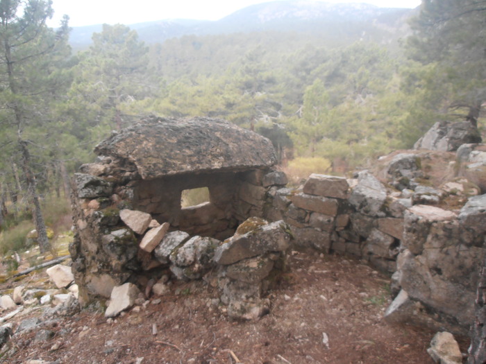 Bunker and trenches I |
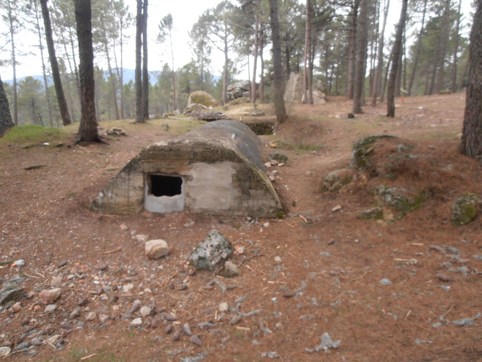 Bunker and trenches II |
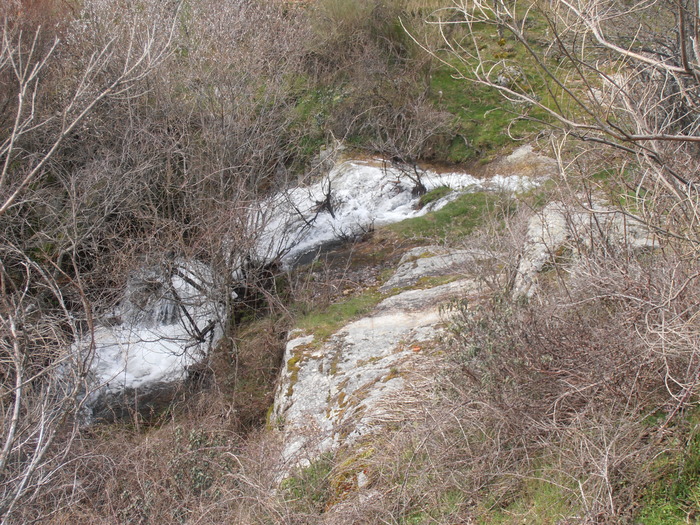 Cascade de la ChorreraCascade de la Chorrera |
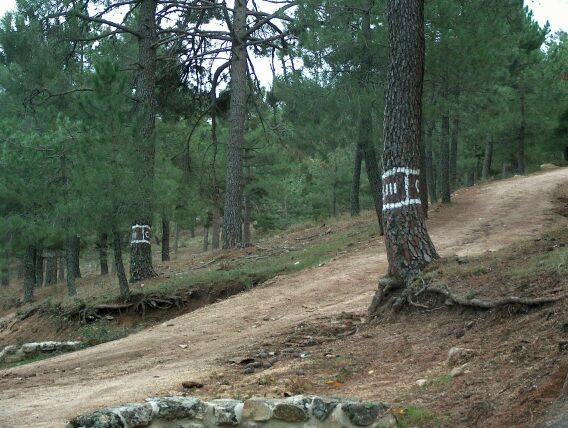 HitoExistence at this point of an explanatory milestone, which provides a brief description of the landscape and serves as a point of orientation. |
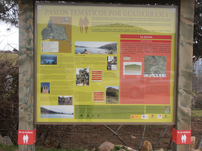 Information Panel |
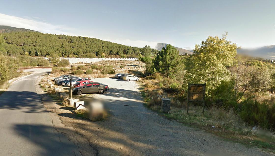 ParkingParking |
Trench ITrinches |
Trinches IITrinches |
Route marked and accompanied by explanatory panels, in particular five, whose number we can see next to each of them. Circular tour except for the first tranche. Following the route of the old Vereda del Agua we will reach an area where remains of fortifications of the Civil War are preserved, these will allow us to have a vision of a part of this historical heritage of Guadalrama little known, and which illustrates very clearly what it meant to keep life on this front during the years of war. The start is located at the gates of the Embalse where we will leave the car and where we will take the asphalt track that borders the reservoir to an interpretative panel, where we will take the forest track that comes out to our right, we will continue through it until we reach a crossing of several roads, known as the crossing of the Rabies. It takes the road to the left, called Vereda del Agua, where we will join the stream of La Chorrera and the small water jump of the same name. We will continue along the Vereda del Agua from where we will get panoramic views of the reservoir and the Pinar de La Jarosa, until we reach a Prairie where the old houses of the resineros are still maintained. A little later the path is crossed with a forest track, opposite is La Pradera del Horcajo with the only source of the route. We will continue on our path that ascends between the pine tree, to the positions and remains that are still preserved from the Civil War, numerous vestiges, such as trenches, parapets, building remains and a bunker. From this point, we will look for the path to take the track that will lead us to another crossing where on the right we will reach the second bunker, used as a command post. After the visit, we will resume the forest track to link to another stretch of path, to the union point of the beginning. Simple and quite attractive route at landscape and cultural level.
Γεωγραφικό πλάτος:40.669658·Γεωγραφικό μήκος:-4.117362