Salt lakes
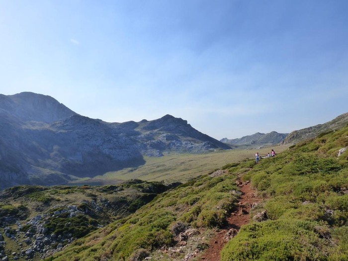 Lake CerveirizThe Lake of Cerveiriz is a beautiful and long mountain lake, belonging to the group of the lakes of Saliencia, located at 1650 m in height. It is located at the foot of the Albos peaks. In its surroundings is the mallad of Cerveiriz, with its great meaderies, which means that in warm months there are cattle in the area. From Cerveiriz it is part of a channel, called the Canal de Salencia, which reaches the reservoir of Valle, after crossing part of the valley of Salencia and then crossing the mountains, to jump through the rock the Villa, to the reservoir of the neighbouring valley. . |
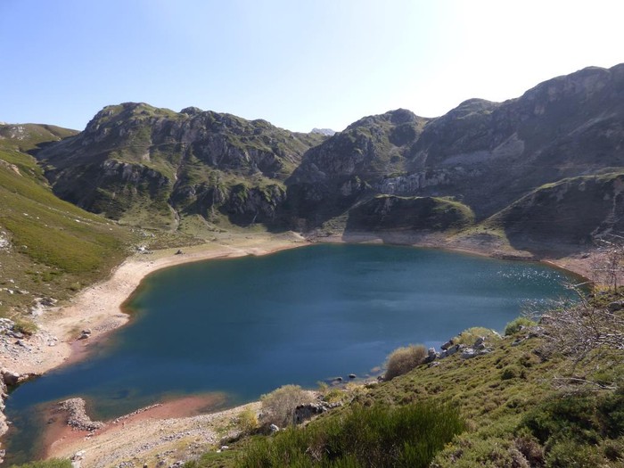 Lake de la CuevaThe reddish tone of the track and water of Lake de la Cueva is due to the iron ore trawling from the rubble of the old Santa Rita mine. It has two gates to regulate its volume, one to control the water that comes from Lake Calabazosa or Lake Negro and the other to control the drain to the Malva. On the way along the old track of the Mina de Santa Rita with a continuous climb leading to the Mirador where there is a great panoramic view of the Lake de la Cueva, with the mountains of the Alto de Colladín and the Sierra de los Bibarians in the background. |
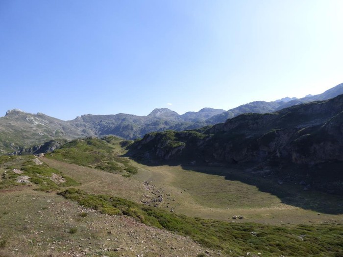 Laguna de la MinaLaguna de La Mina or La Almagrera, small lagoon that dries in the summer months. |
Lake CerveirizThe Lake of Cerveiriz is a beautiful and long mountain lake, belonging to the group of the lakes of Saliencia, located at 1650 m in height. It is located at the foot of the Albos peaks. In its surroundings is the mallad of Cerveiriz, with its great meaderies, which means that in warm months there are cattle in the area. From Cerveiriz it is part of a channel, called the Canal de Salencia, which reaches the reservoir of Valle, after crossing part of the valley of Salencia and then crossing the mountains, to jump through the rock the Villa, to the reservoir of the neighbouring valley. . |
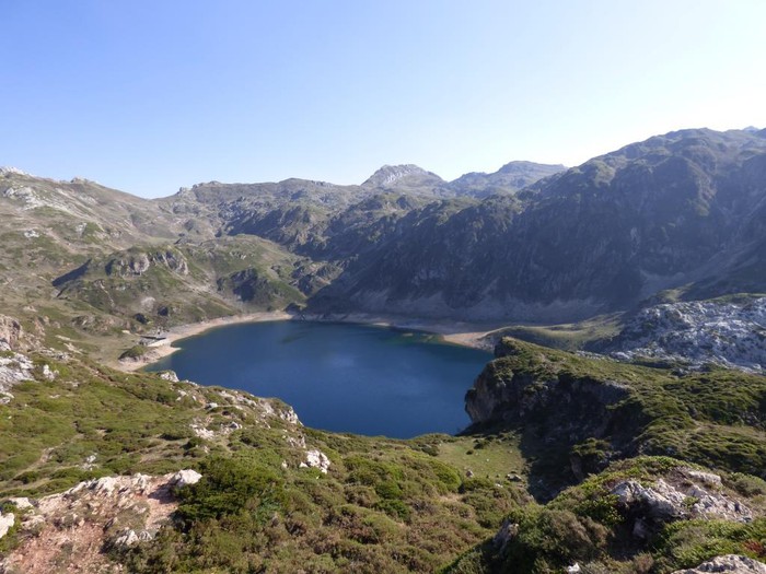 Lake CalabazosaThe Black Lake, or Calabazosa, is one of the largest of the Lacustre Complex in Souro, only less than the Lake of the Valley. Its water sheet, very defined by the glacier bucket that hosts it, measures 15.6 hectares, locked within a perimeter of 1,617 meters. It can accommodate up to 1,810,000 m3 of water. The altitude of its shore is 1,640 meters above sea level. |
Lake CerveirizThe Lake of Cerveiriz is a beautiful and long mountain lake, belonging to the group of the lakes of Saliencia, located at 1650 m in height. It is located at the foot of the Albos peaks. In its surroundings is the mallad of Cerveiriz, with its great meaderies, which means that in warm months there are cattle in the area. From Cerveiriz it is part of a channel, called the Canal de Salencia, which reaches the reservoir of Valle, after crossing part of the valley of Salencia and then crossing the mountains, to jump through the rock the Villa, to the reservoir of the neighbouring valley. . |
Circular route through the Lagos de Saliencia, in the Natural Park of Souro (Asturias). We started the route in the Alto de la Farrapona (1.708 m), point of entry to the valley of Salencia and limit of Asturias and Castilla y León. From this point on we have a beautiful perspective on the massif of the Ubiñas. We take the track that leaves the parking lot of the Alto in the direction of the Lagos de Saliencia (La Cueva, Calabazosa and Cerveriz) at 1,600 meters altitude. After a smooth down of about one kilometre we reach Lake de la Cueva, in this area are still evident the scars produced on the ground by the iron exploitation of the Santa Rita Mine (1805-1978), currently abandoned. The itinerary continues along the old track of the iron mine, with a strong rise to pass by the Lagoon de la Mina, dry in the summer months. A few minutes later the horizon opens and the splendid meadow of Cerveriz, as well as the lake of the same name, is in sight. Continue the road in a south-east direction to discover the magnificent panorama of the great Lake of Calabazosa. This lake, the largest of the three, occupies the depression of a large dolin excavated by the dissolution of the limestone and then waterproofed by the reservoir of glacier sediments. Then we have again seen the Lake of the Cave but on the other side of the climb. We continue to border the lake until we reach a path that leads us to the track we take at the beginning of the route.
Σύνδεσμοι:wikiloc.com
Γεωγραφικό πλάτος:43.057042·Γεωγραφικό μήκος:-6.090347