Grazalema - Port of the Presillas
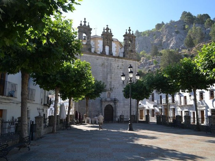 Plaza de Grazalema |
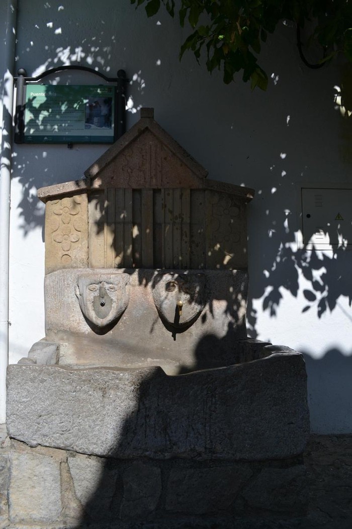 Fuente Puentezuela |
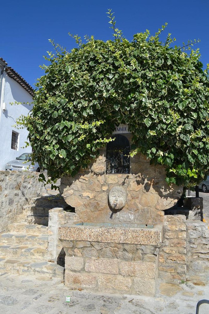 Another nice source |
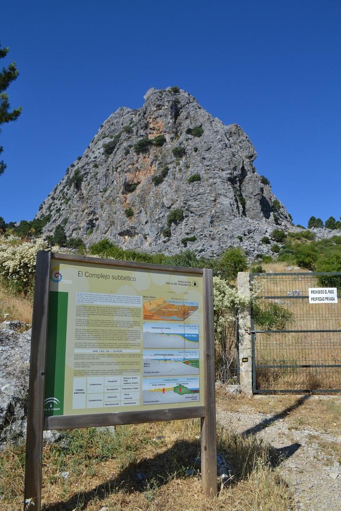 Incident of the path |
 It was from Trillo of the Mahon Canyon |
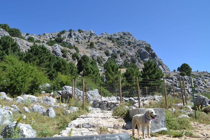 Fountain Pilar Abradero and Llanos del Endrinal |
 Cancel |
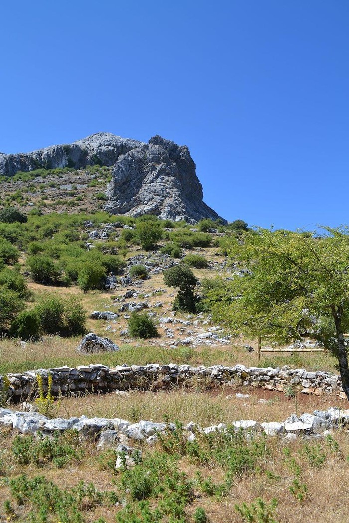 Snow well |
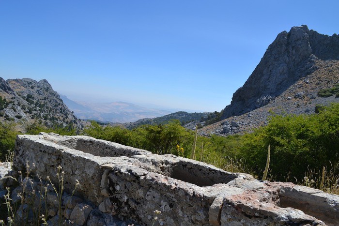 Well Pilar de las Presillas |
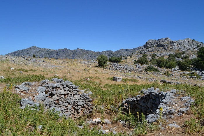 Other snow well |
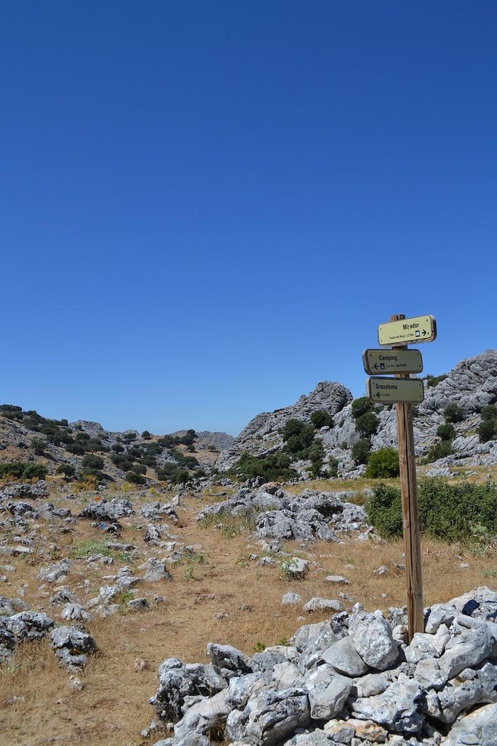 Bifurcation on the way |
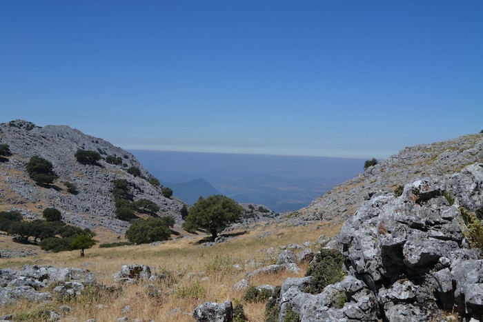 View of the Valley of the Twin Encinas |
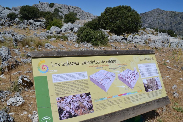 Karstic lacquers |
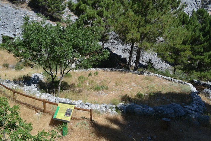
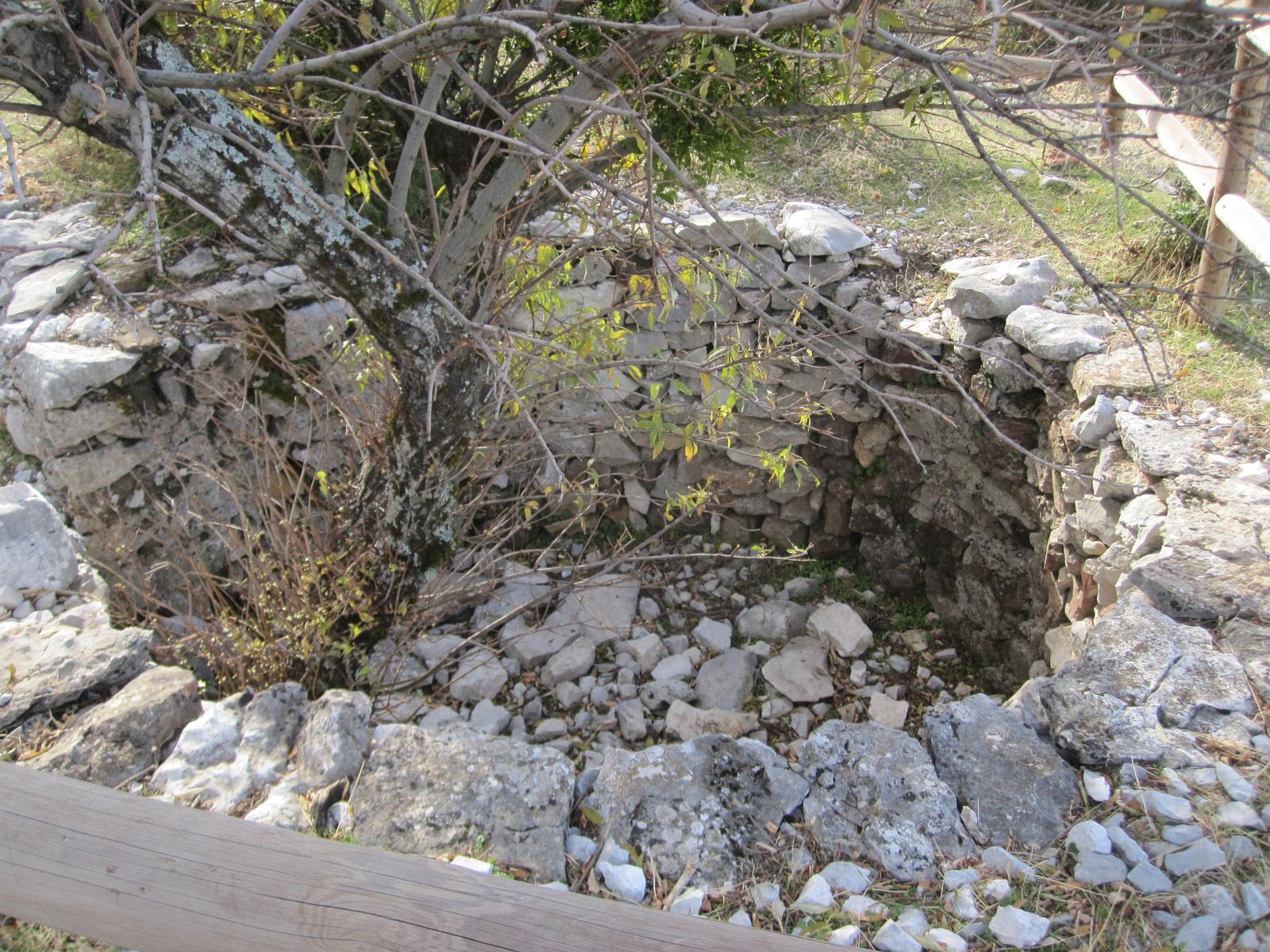 ShoulderIn the Sierra de Grazalema there are still some of the coves that served to unravel from the limestone the white lime that became an identity sign of the peoples of the Sierra de Cadiz. The coves, are stone kilns in which the locals took away the limestone from the living lime (calcium oxide) with which, among other things, they were making their houses. |
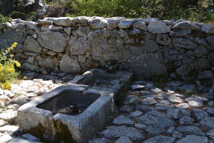 Birth of the Guadalete RiverThe spring is the birth of the Guadalete River. It is located near the Port of the Boyar, from where a horseshoe trail comes out that follows a small channel that is no other than the Guadalete. It is located on the public mountain called Sierrecilla. |
This path offers us the opportunity to know one of the most characteristic mountains of the Sierra de Grazalema Natural Park: the Sierra del Endrinal, from which you will see valuable views of the Gaditan orography, including high peaks such as the Clock, the Simancón and El Torreón (1,648 m), the highest altitude of the province. The tour is of great geomorphological interest, presenting striking formations produced by the dissolution of the limestone, which allow to contemplate the infinity of curious forms of sharp edges, obajades and alleys, where there is a refuge for the skillful mountain goat. In addition, the interesting ethnographic legacy in the form of neveros, caleras, eras and abrevaderos, which has been preserved for years, thanks to the good performance of the pastors and inhabitants of these saws, will provide a pleasant experience to all lovers of nature. .
Σύνδεσμοι:wikiloc.com·juntadeandalucia.es
Γεωγραφικό πλάτος:36.758846·Γεωγραφικό μήκος:-5.365011