Circular Valsain
 Exit Parking |
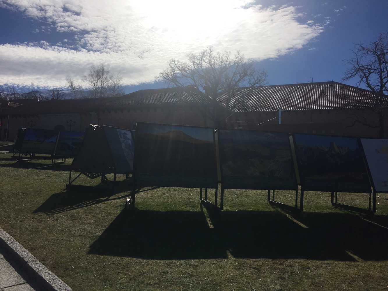 National Environmental Education Centre |
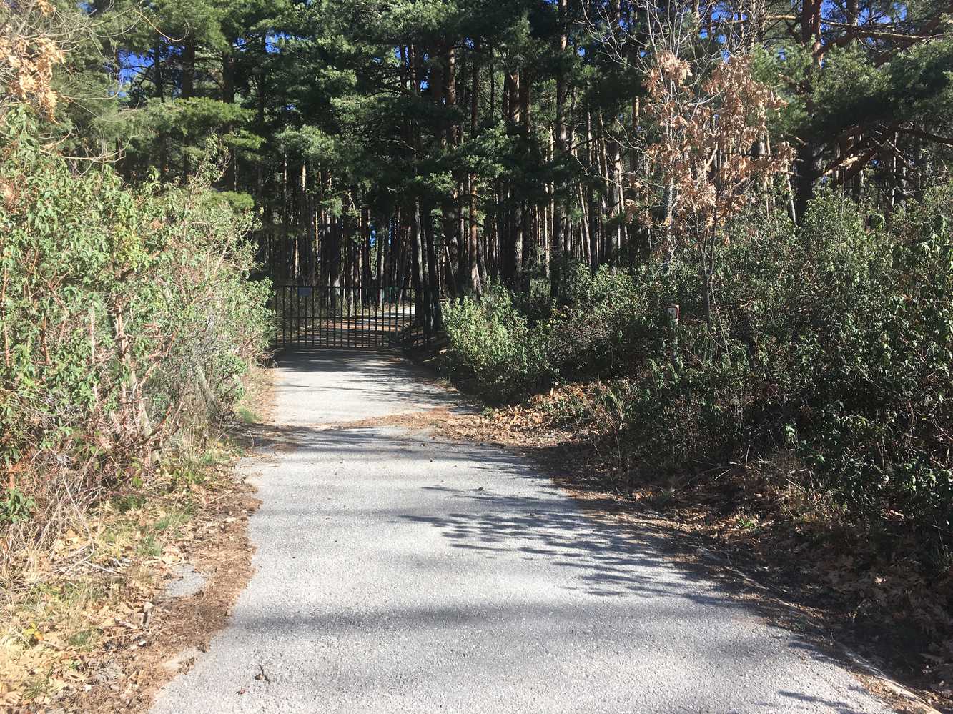 Barrier |
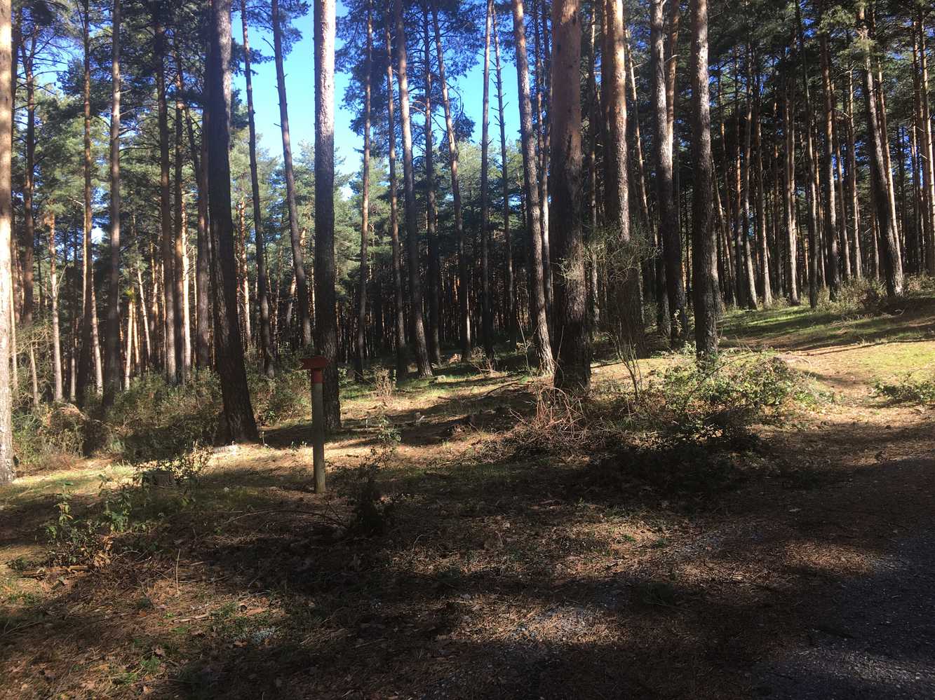 Pinohera |
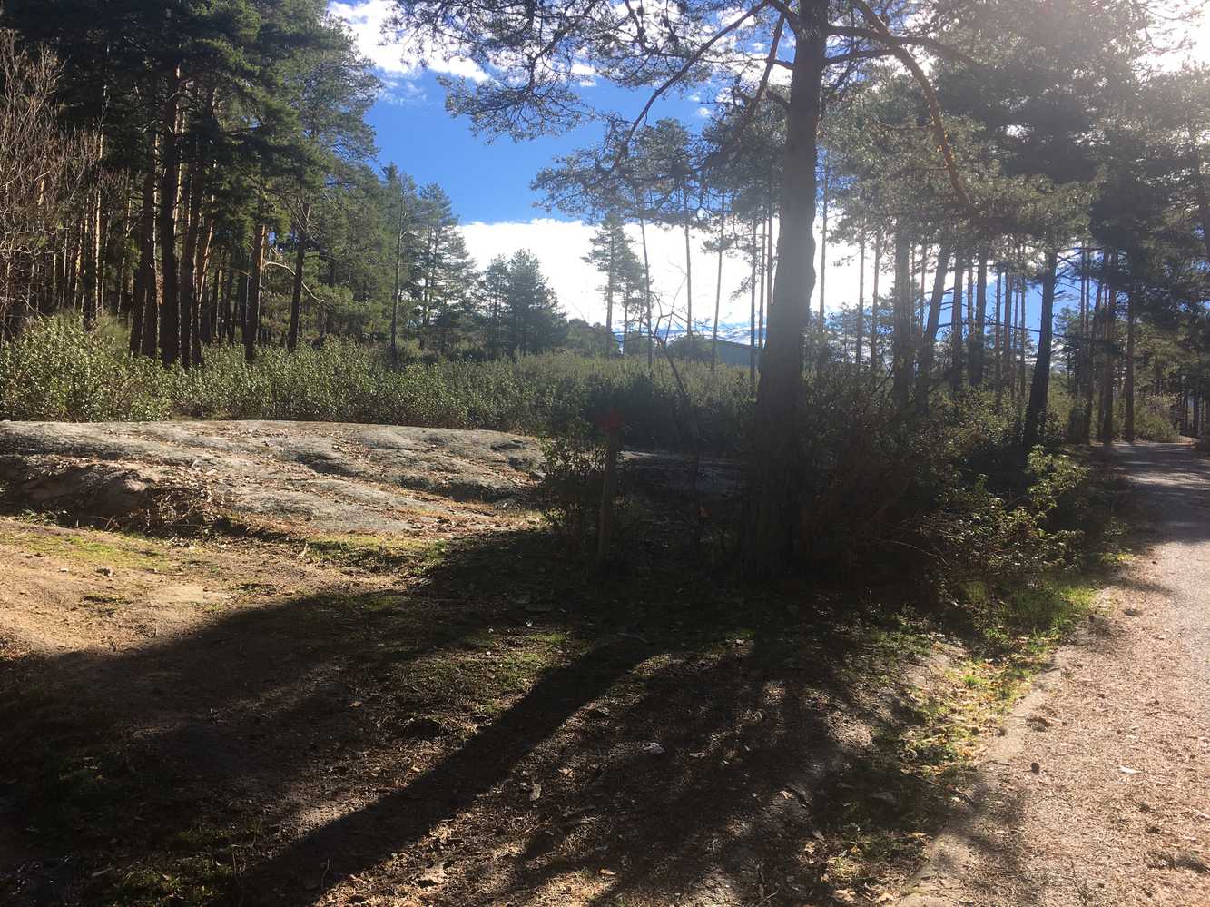 Displacement |
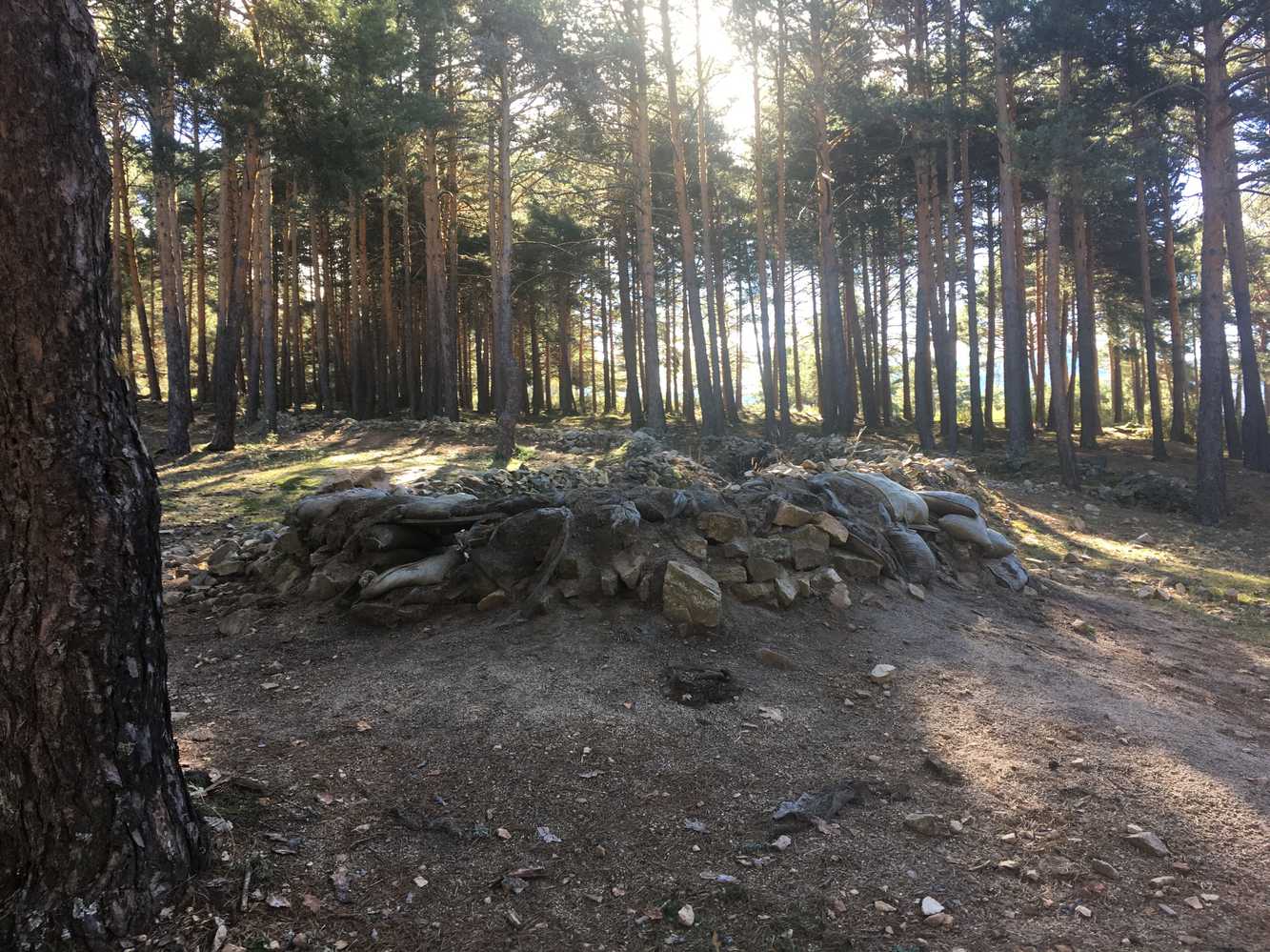 Trench |
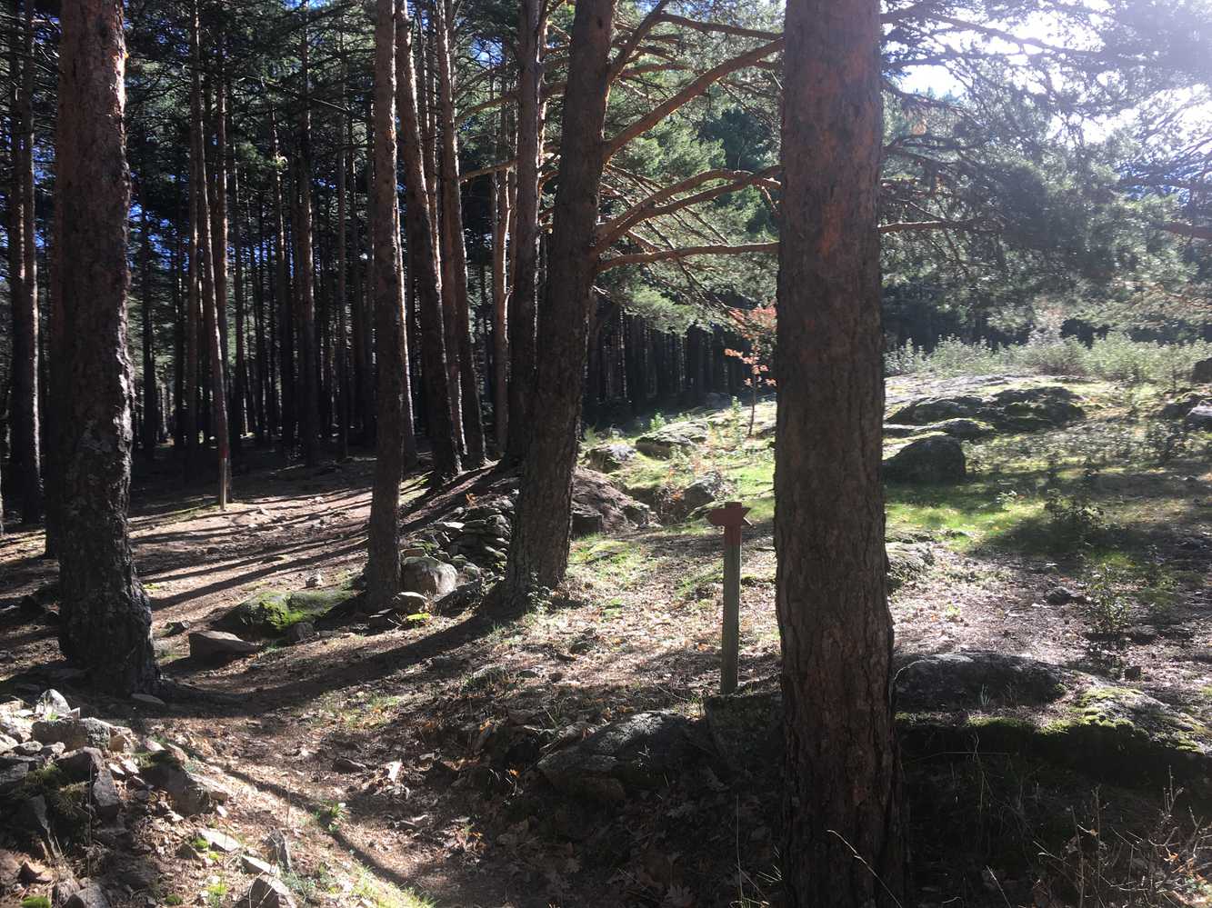 Indicator |
 Parapet |
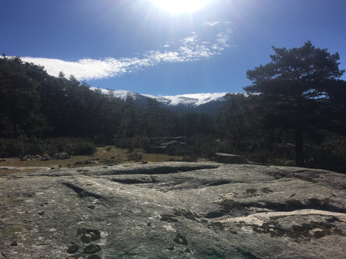 Views |
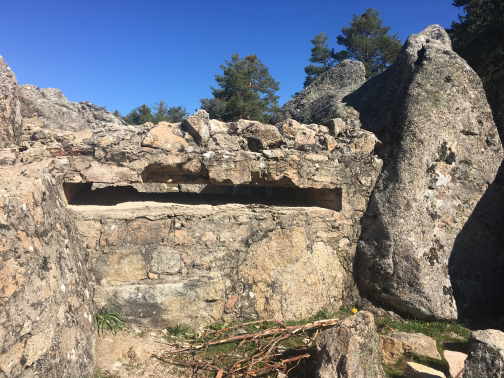 FortinEven today, there are remains on a cement plate with the falange shield. It is hard to imagine the feeling of anguish of the soldiers who were once inside. |
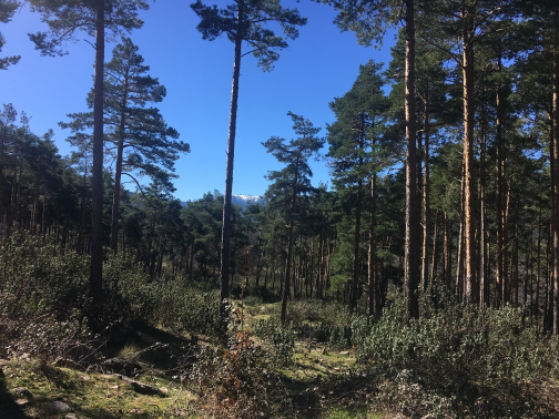 Waypoint 21 |
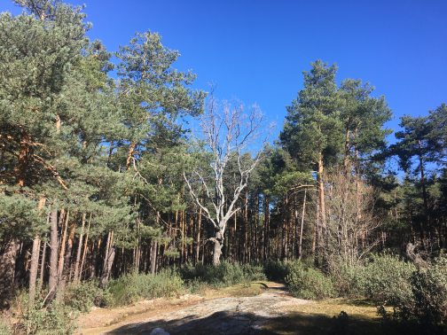 Waypoint 22 |
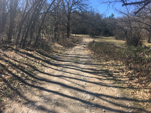 Waypoint 23 |
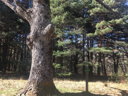 Waypoint 24 |
 Waypoint 25 |
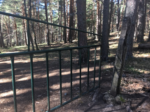 Barrier |
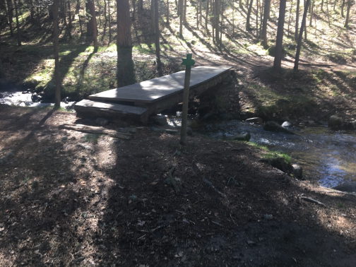 Arroyo Peñalara |
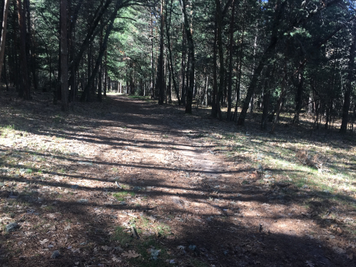 Waypoint 30 |
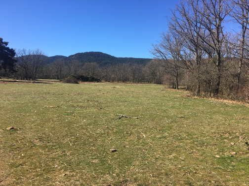 High meadows |
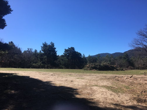 Waypoint 33 |
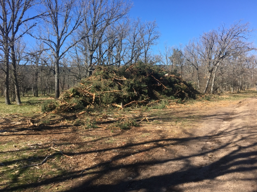 Waypoint 34 |
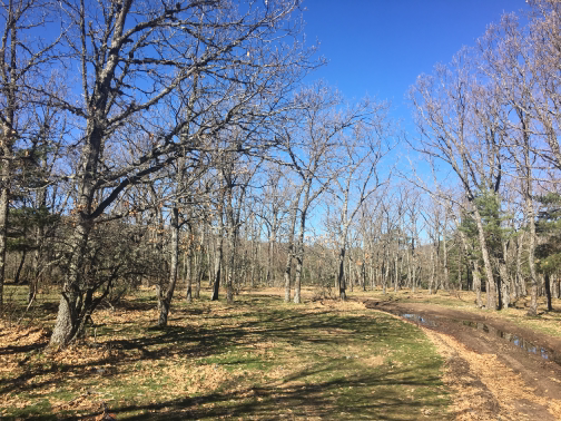 Waypoint 35 |
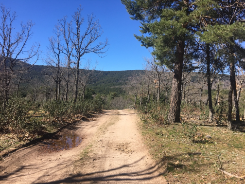 Waypoint 36 |
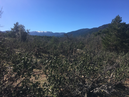 Waypoint 37 |
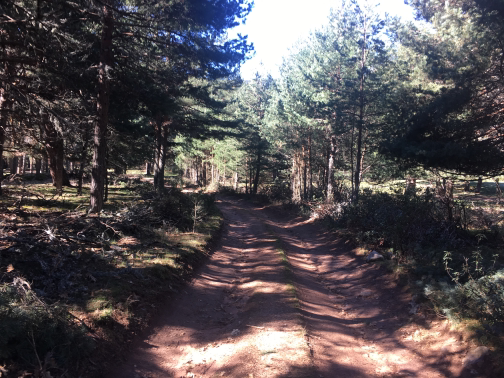 Waypoint 38 |
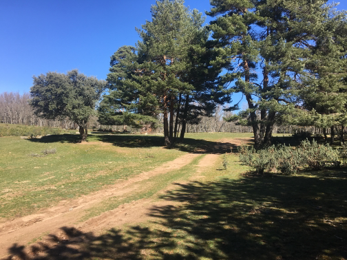 Waypoint 39 |
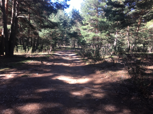 Waypoint 40 |
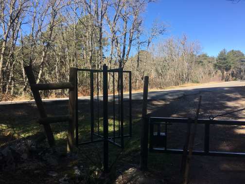 Departure and CrossRoad cross. |
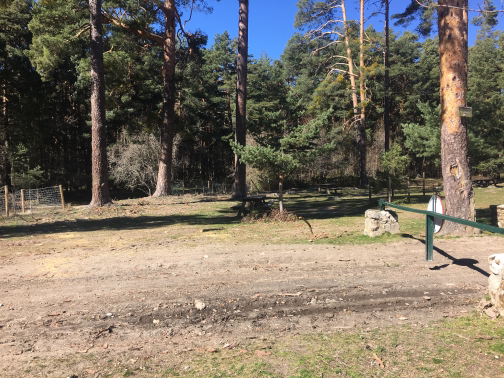 The SeatsWith park games for children and tables to eat, it is a fully recommended area to rest, take strength after a hiking route and enjoy the nature and landscape that this great place offers. |
 Waypoint 48 |
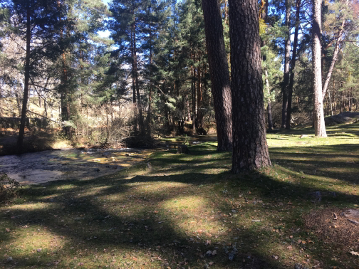 Waypoint 49 |
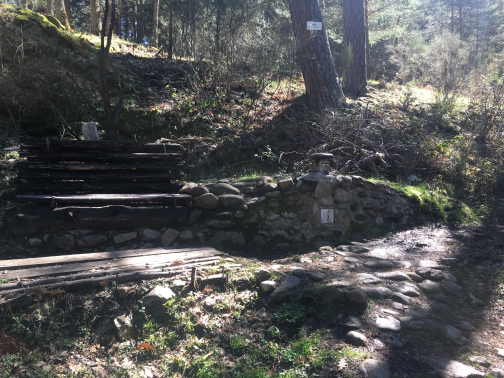 Source |
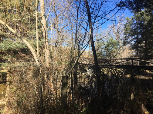 Peñalara Bridge |
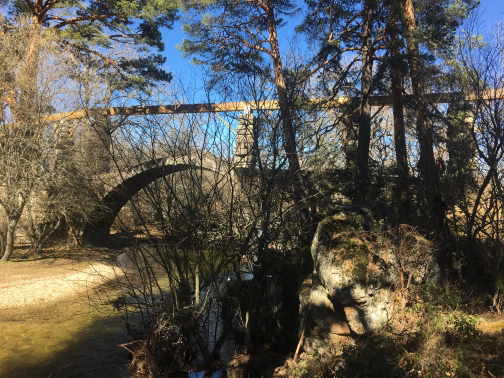 Aqueduct |
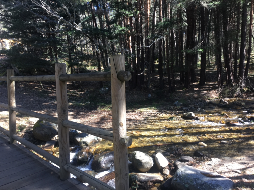 Waypoint 56 |
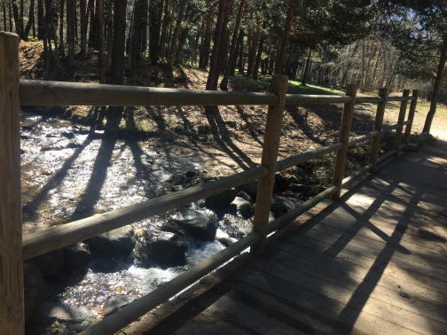 Waypoint 57 |
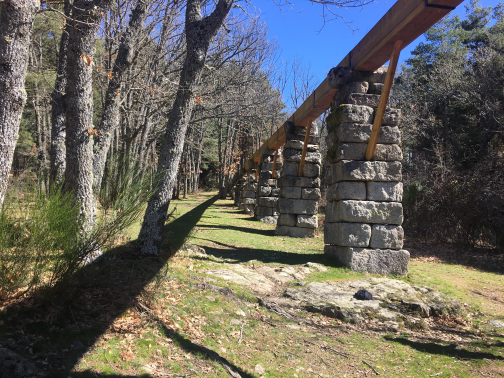 Aqueduct |
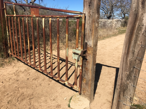 Barrier |
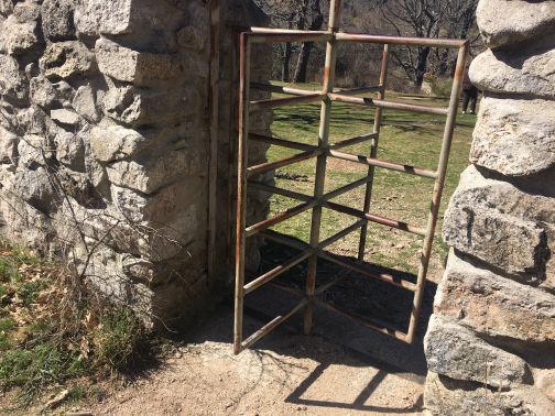 DoorWe walk through the door to continue closer to the bank of the Eresma River. |
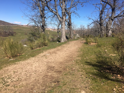 Waypoint 61 |
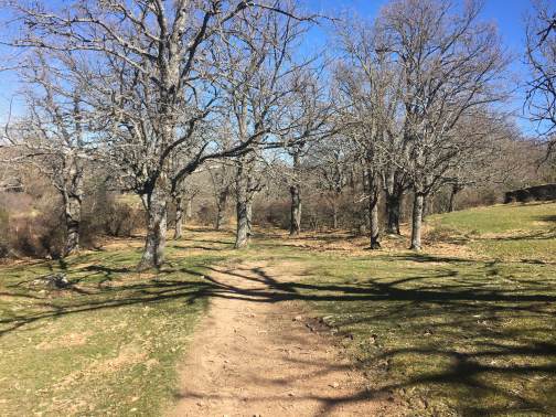 Waypoint 62 |
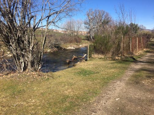 Waypoint 63 |
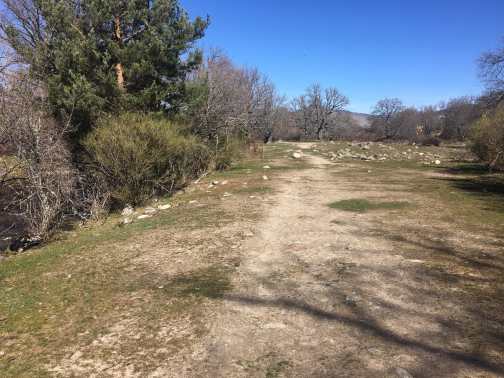 Waypoint 64 |
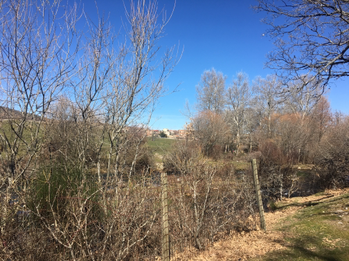 Waypoint 65 |
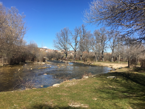 Waypoint 66 |
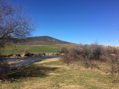 Waypoint 67 |
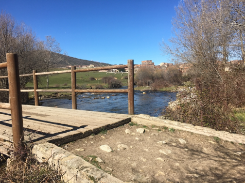 Bridge |
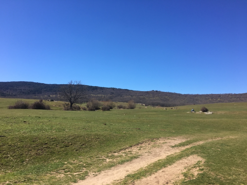 Waypoint 71 |
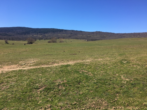 Navalofana meadow |
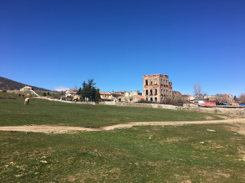 Waypoint 74 |
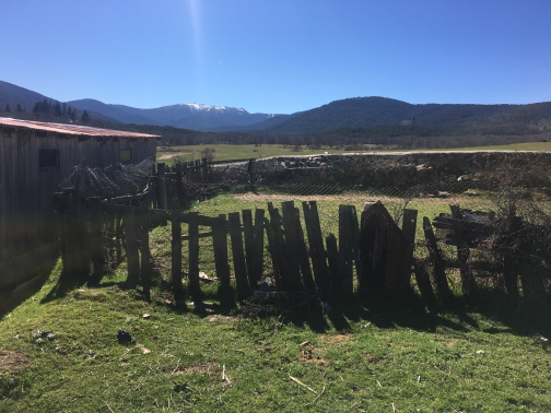 Waypoint 76 |
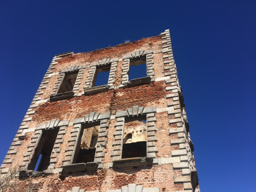 Ruins of the Palace of ValsainThe palace of Valsain was an old royal palace. It was the first palace of all the Royal Spanish Sites. There are currently only a few remains of it |
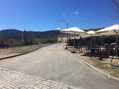 Waypoint 78 |
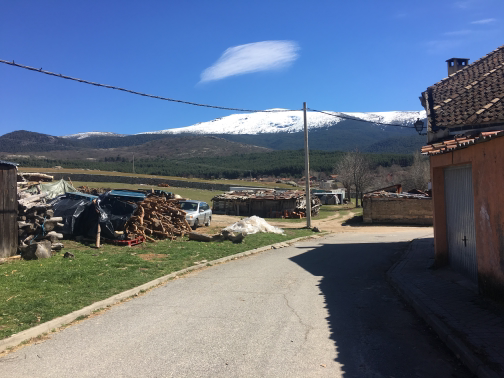 Waypoint 80 |
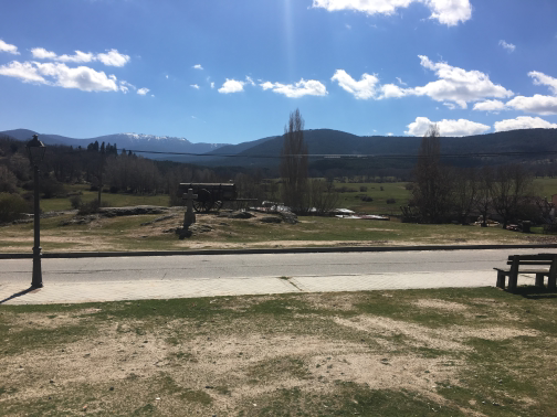 Waypoint 82 |
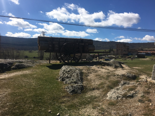 Waypoint 83 |
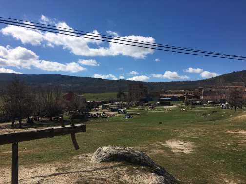 Waypoint 84 |
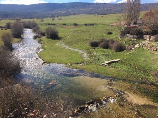 Eresma River |
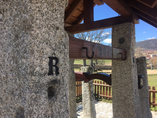 Monument |
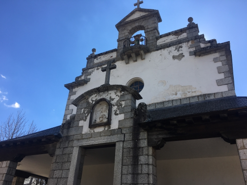 ChurchVery nice church dedicated to the patron of Valsain, Our Lady of the Rosary. To visit it, you have to go on the schedule of celebrations. |
Barrier |
Aqueduct |
Barrier |
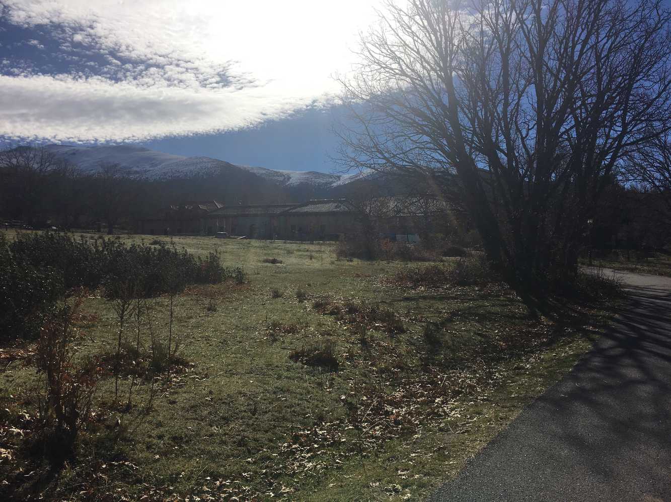
Route that runs through the most representative sites around Valsain. From the National Centre for Environmental Education, it runs through the Pinohera, the Pinares, the Sets, the river bank of the Eresma River, the Prairie of Navalofo and ends up on a tour of the urban center.
Γεωγραφικό πλάτος:40.872951·Γεωγραφικό μήκος:-4.020569